
Albany, OH
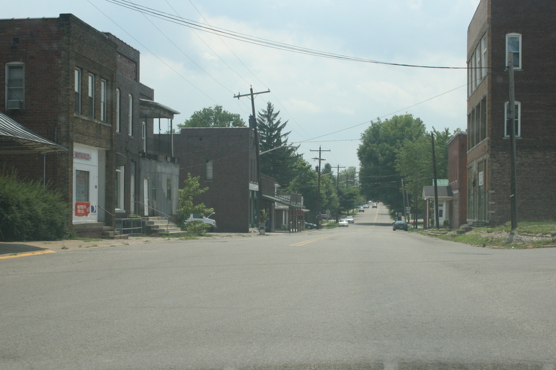
- Elevation
- 760 ft
- General Quality Overall rating out of 100
Highlights
What stands out in Albany
Explore
More places like Albany
About Albany
Set in the rolling hills of southwest Athens County, Albany offers a quiet, small-town feel about ten minutes from the college town of Athens. Founded in the 1830s, the village has deep roots as an important Underground Railroad stop, aided by travelers following the Hocking River north from the Ohio River. Early residents also championed progressive education through schools that opened their doors to Black and female students long before most institutions did. Today, with fewer than a thousand residents, it retains that proud heritage alongside a friendly, laid-back atmosphere.

For newcomers, everyday life here is simple and convenient. Families appreciate the Alexander Local School District, which gathers all grade levels onto one central campus along Ayers Road. The intersection of U.S. 50 and Ohio 32 provides a straightforward drive to university jobs, healthcare, and shopping in Athens, while nearby Lake Snowden offers plenty of fishing, camping, and weekend recreation. It is an appealing landing spot for anyone seeking country living within easy reach of town.
Top Rating Signals
Highest current ratings for this town.
Loading town details...