
Aliso Viejo, CA

- Elevation
- 409 ft
- General Quality Overall rating out of 100
Highlights
What stands out in Aliso Viejo
Explore
More places like Aliso Viejo
About Aliso Viejo
Aliso Viejo is one of South Orange County’s most cohesive master-planned communities, designed from the ground up so daily conveniences are always close by. Originally developed on the historic Moulton Ranch, the area grew steadily throughout the 1980s and 1990s before officially incorporating as a city in 2001. That intentional layout shows in its quiet residential tracts, tree-lined streets, and easy access to shopping hubs like the Aliso Viejo Town Center. The local community association manages the city’s extensive network of neighborhood parks and greenbelts, keeping the entire area exceptionally clean, manicured, and welcoming.

The city's name translates from Spanish to "old alder" or "old sycamore," a nod to the native trees lining local canyon creek beds. Long before modern subdivisions arrived, the land was home to Indigenous Acjachemen and Tongva communities, later becoming part of the expansive 19th-century Rancho Niguel. Today, the centerpiece of that heritage is the restored Aliso Viejo Ranch on the east side of town. The city preserved its historic barn and bunkhouse as a community gathering space and working urban farm, giving residents a tangible connection to California’s agricultural past right inside a modern suburban setting.
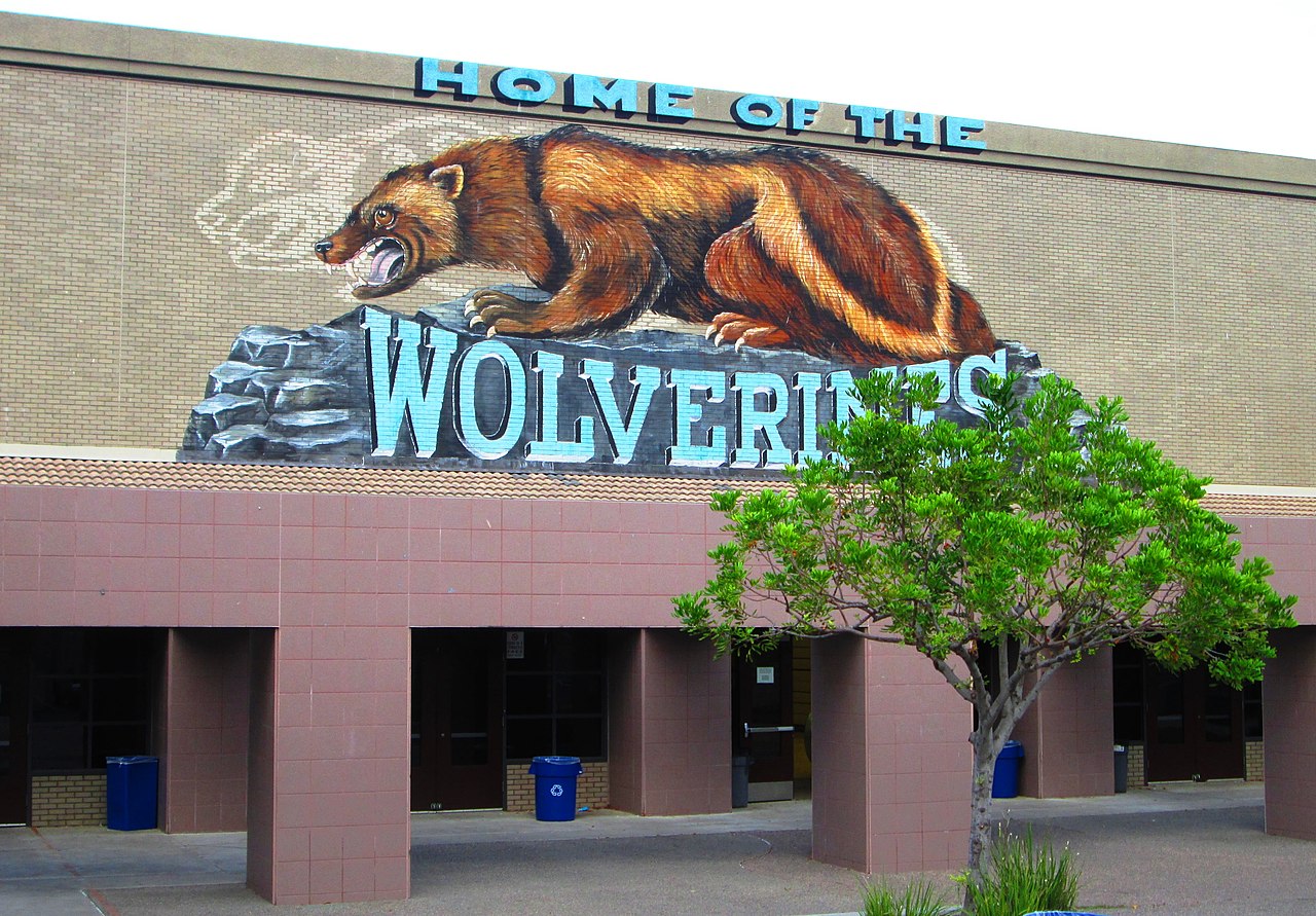
For professionals, Aliso Viejo offers a strong local job market alongside easy regional commutes via the 73 toll road. Major employers span medical device innovation, biotechnology, insurance, and corporate offices, allowing many residents to work minutes from home. Perched on a scenic ridge overlooking the city sits Soka University of America, a private liberal arts college known for its hilltop architecture and diverse international student body. The campus regularly hosts concerts and public lectures, bringing an energetic cultural hub to the area.

Outdoor recreation is a major draw for anyone moving here, especially with the 4,500-acre Aliso and Wood Canyons Wilderness Park bordering the western edge of town. Residents enjoy direct access to more than 30 miles of trails for hiking, trail running, and mountain biking through coastal canyons that stretch all the way toward Laguna Beach. Between weekend trail rides, hands-on workshops at the ranch, and relaxed evenings around the town center, Aliso Viejo delivers an active, convenient suburban lifestyle just minutes from the coast.
Top Rating Signals
Highest current ratings for this town.
Loading town details...