
Altamont, TN
- Elevation
- 1,855 ft
- General Quality Overall rating out of 100
Highlights
What stands out in Altamont
Explore
More places like Altamont
About Altamont
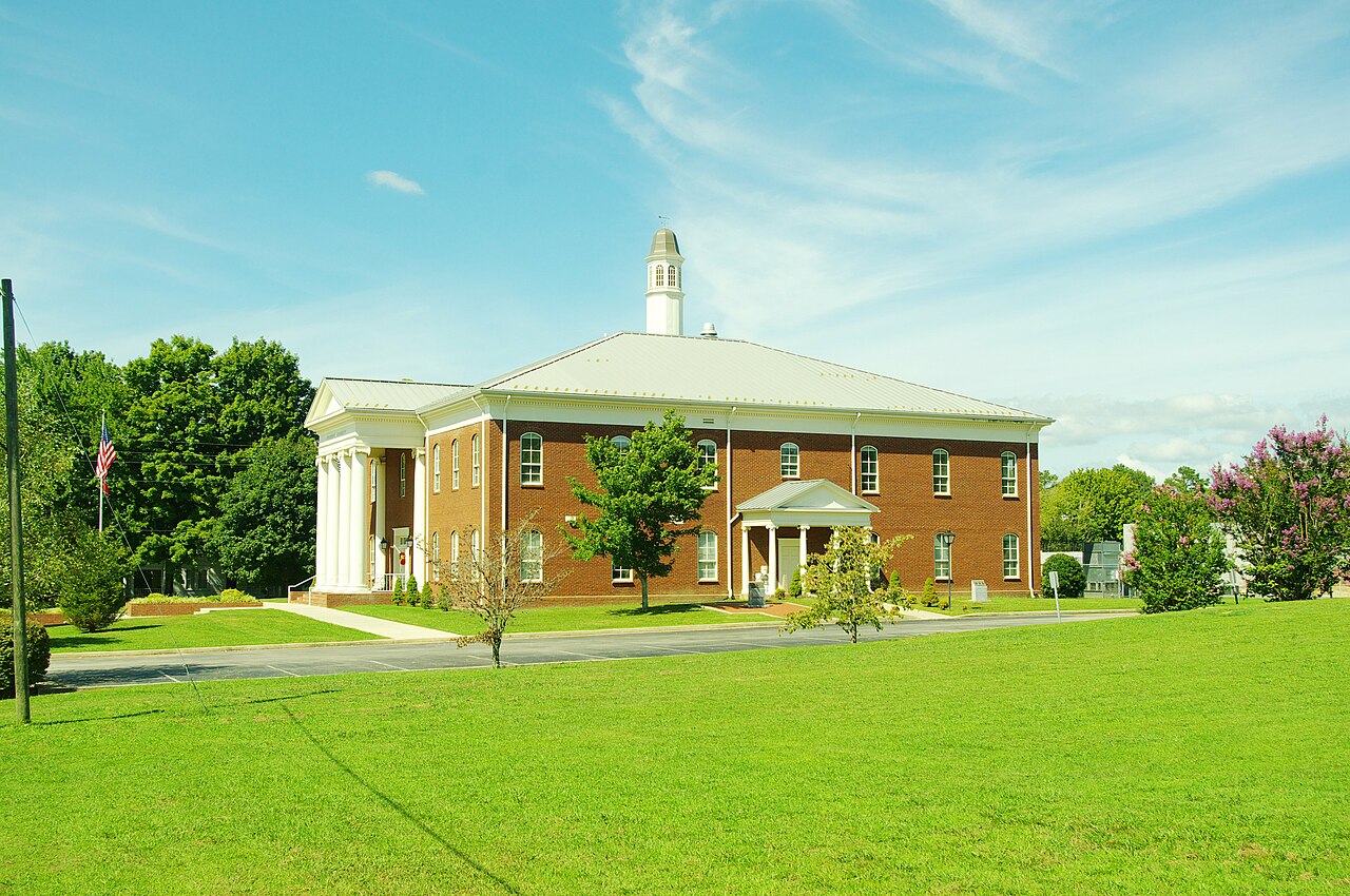
Perched high on the Cumberland Plateau, Altamont serves as the quiet heart of Grundy County. As the county seat, it offers a laid-back, small-town atmosphere where everyday life centers around the courthouse square. Living here means trading city noise for open skies, cool mountain breezes, and a slower pace, with convenient roads connecting you to nearby hubs like McMinnville and Monteagle for shopping, dining, and daily errands.

Outdoor lovers will appreciate having Savage Gulf State Park right in their backyard. Scenic spots like Greeter Falls and the Blue Hole swimming area are only a short drive from town, giving residents quick access to some of the finest hiking trails, overlooks, and waterfalls in Tennessee. It is a peaceful, close-knit mountain community that makes a great fit for anyone looking for quiet country living surrounded by nature.
Top Rating Signals
Highest current ratings for this town.
Loading town details...