
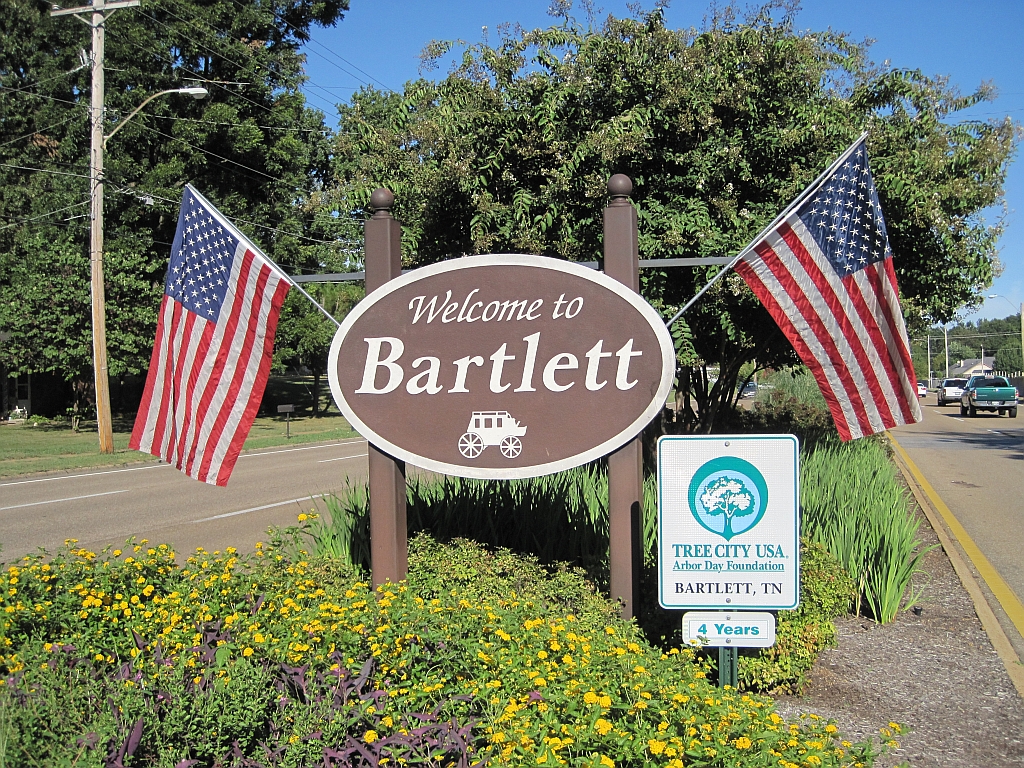
Bartlett, TN
- Elevation
- 278 ft
- General Quality Overall rating out of 100
Highlights
What stands out in Bartlett
Explore
More places like Bartlett
About Bartlett
Stage Road anchors Bartlett’s character, tracing the town's roots back to the 1800s when it served as a stagecoach stop and railroad depot. While the community has grown into one of the larger suburbs in the Memphis area, it has held onto pieces of that early history. Historic landmarks and the old Bartlett Station district sit right alongside quiet residential streets, local businesses, and modern shopping centers. The result is a comfortable, grounded suburb that balances its small-town roots with everyday convenience.

The housing market offers a solid variety of options across different eras. Closer to Bartlett Station and the southern end of town, you will find established mid-century brick ranches, modest cottages, and large, shaded yards. Heading north and east, the neighborhoods shift toward newer subdivisions with larger two-story homes and quiet cul-de-sacs. The independent Bartlett City School district is a primary draw for relocating families, though buyers need to pay close attention to municipal borders. Mailing addresses in this area can sometimes say Bartlett even if the property falls under county or Memphis jurisdiction, so always verify the exact city limits, tax rates, and school assignments for any home you tour. Checking property-specific drainage maps is also a smart step for houses near local creeks.

Green space is another standout feature of the area. W.J. Freeman Park serves as the community hub, offering athletic fields, tennis courts, walking paths, playgrounds, and a weekly farmers market. If you prefer a more rugged afternoon outdoors, Nesbit Park, known locally as Stanky Creek, features miles of dirt trails for mountain biking, trail running, and hiking. The Bartlett Performing Arts and Conference Center hosts plays, musical acts, and community gatherings, while seasonal festivals and food truck nights give residents plenty of reasons to get outside and connect with neighbors throughout the year.

Daily errands are straightforward, with plenty of grocery stores, casual restaurants, and big-box shopping along Stage Road and Highway 64. Major corridors like Interstate 40, Germantown Parkway, and Kirby Whitten Parkway connect residents directly to East Memphis, Midtown, and downtown job centers. You will definitely rely on a car to get around, and traffic can bottleneck near the interstate during peak commute hours. Overall, Bartlett appeals to buyers looking for a dependable suburban pace, great city parks, and a strong local school system close to Memphis.
Top Rating Signals
Highest current ratings for this town.
Loading town details...