
Bay Point, CA

- Elevation
- 62 ft
- General Quality Overall rating out of 100
Highlights
What stands out in Bay Point
Explore
More places like Bay Point
About Bay Point
Bay Point sits along Contra Costa County's northern shoreline, right where Suisun Bay opens up toward the Sacramento-San Joaquin Delta. Once a historic waterfront settlement known as West Pittsburg, it has grown into a community of roughly 24,000 residents looking for relatively accessible housing in the East Bay. One key thing to understand is that Bay Point is unincorporated. Without its own city council, local planning and road maintenance are handled by Contra Costa County, while special districts provide water, fire protection, and parks.

Highway 4 and the Pittsburg/Bay Point BART station make daily commuting straightforward, with direct Yellow Line service running west into Oakland and San Francisco. Most neighborhoods consist of quiet streets with single-family homes and modest subdivisions branching off Willow Pass Road and Bailey Road. You will find small local markets, taquerias, and neighborhood eateries close by, though major shopping trips and larger supermarkets usually mean a quick drive over to Pittsburg, Concord, or Antioch.
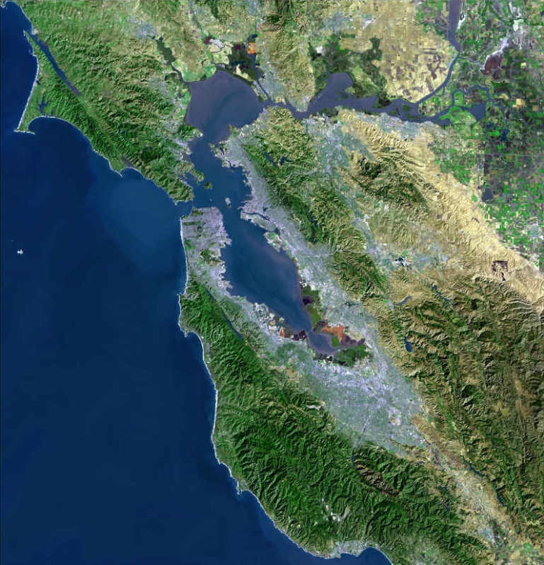
Outdoor recreation is anchored by the Ambrose Recreation and Park District, which runs neighborhood parks, sports fields, and a public aquatic center. The local county library branch operates next to Riverview Middle School, offering a convenient spot for after-school study and family programs. For open water views, the Bay Point Regional Shoreline at the end of McAvoy Road provides a quiet escape with elevated marsh trails, picnic areas, and a kayak launch for paddling out into the Delta.
Because of the way local governance is split up, buyers should do a little extra research on specific home listings. Building permits, code enforcement, and property zoning all go through the county rather than a city hall. In addition, water districts, school assignments, and flood insurance requirements can vary depending on which street you live on and how close you are to the water. Checking those parcel details and testing your walking route to BART will help ensure you know exactly what to expect from your new home.
Top Rating Signals
Highest current ratings for this town.
Loading town details...