
Braddock, PA
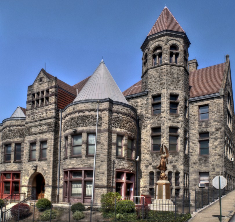
- Elevation
- 761 ft
- General Quality Overall rating out of 100
Highlights
What stands out in Braddock
Explore
More places like Braddock
About Braddock
Braddock Hills is a small, quiet borough tucked into the East End suburbs about eight miles outside downtown Pittsburgh. It sits right along the Parkway East corridor, making it an easy home base for anyone commuting into Oakland's hospitals and universities or heading downtown for work. Most of the community is made up of peaceful residential streets winding through rolling hills, with a mix of cozy brick houses, mid-century ranches, and leafy yards bordered by neighboring communities like Forest Hills and Swissvale.

Life here centers around straightforward convenience. Everyday shopping and dining are right in the neighborhood along Yost Boulevard, while popular dining and entertainment hubs like Regent Square and Squirrel Hill are just a quick drive down the road. Local students are served by the Woodland Hills School District, alongside nearby charter options. For buyers looking for affordable suburban living with quick access to the city, Braddock Hills offers a low-key, practical spot to put down roots.
Top Rating Signals
Highest current ratings for this town.
Loading town details...