
Brownsville, TX
- Elevation
- 35 ft
- General Quality Overall rating out of 100
Highlights
What stands out in Brownsville
Explore
More places like Brownsville
About Brownsville
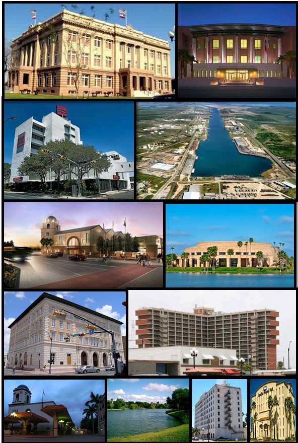
Downtown Brownsville sits right along the Rio Grande, directly across the river from Matamoros, Mexico. This gives the city a unique borderland character where walking across the international bridge to visit Mexico is a natural part of daily life. Winding through the neighborhoods are resacas, scenic oxbow waterways formed by the river that now create peaceful waterfront views, green parks, and prime spots for world-class birdwatching. Downtown itself brings together historic 19th-century architecture, local government offices, and neighborhood businesses in a walkable, easy-to-navigate center.

Head a few miles east, and the landscape opens up toward the coast and the Port of Brownsville. As the only deepwater seaport directly on the border, the port anchors the regional economy alongside expanding manufacturing and green energy projects. Down the road near Boca Chica Beach, the SpaceX launch site has also brought a wave of aerospace careers and global attention to the tip of Texas. For residents, this combination provides a growing job market along with quick weekend access to coastal fishing, boating, and the beaches of South Padre Island.

Education and history are closely woven into the community, especially around the former grounds of Fort Brown. Today, that historic site is home to Texas Southmost College and the University of Texas Rio Grande Valley, bringing a lively campus feel framed by palm trees and classic brick buildings. Right next door, the Mitte Cultural District gathers several favorite attractions together, making it a popular hub for arts, museum visits, and relaxed family outings.

Recreation and local traditions make settling into the city easy and fun. Residents spend sunny weekends exploring the renowned Gladys Porter Zoo, playing in Dean Porter Park, or cycling along the miles of paved trails on the Historic Battlefield Trail. Fresh produce and local crafts are easy to find at community farmers markets in the linear parks. Late February brings Charro Days, a beloved annual festival celebrating the region's bicultural heritage with colorful parades, street food, and traditional music. With its warm subtropical climate, friendly neighborhoods, and relaxed pace, Brownsville offers an inviting place to put down roots.
Top Rating Signals
Highest current ratings for this town.
Loading town details...