
Buckeye, AZ
- Elevation
- 869 ft
- General Quality Overall rating out of 100
Highlights
What stands out in Buckeye
Explore
More places like Buckeye
About Buckeye
Buckeye sits on the western edge of the Phoenix metro area, roughly 35 miles west of downtown Phoenix. It is geographically massive, spanning over 600 square miles of desert, farmland, and expanding residential communities, though much of that open land is still waiting to be developed. For newcomers, this means you can find everything from quiet rural parcels along the Gila River to bustling master-planned neighborhoods tucked against the scenic White Tank Mountains. Even with its rapid population growth in recent years, the city still feels spacious, giving residents plenty of room to breathe.

The community traces its roots back to the late 1800s, when early settlers built an irrigation canal to support farming in the desert valley. They nicknamed the canal after their home state of Ohio, the Buckeye State, and the moniker stuck. While the settlement was briefly platted under the name Sidney, locals preferred Buckeye, and the arrival of the railroad in 1910 helped establish a permanent town center around the depot. Buckeye officially incorporated in 1929 as a modest agricultural town of less than a square mile, and that farming heritage is still visible today in the working fields scattered across the valley.

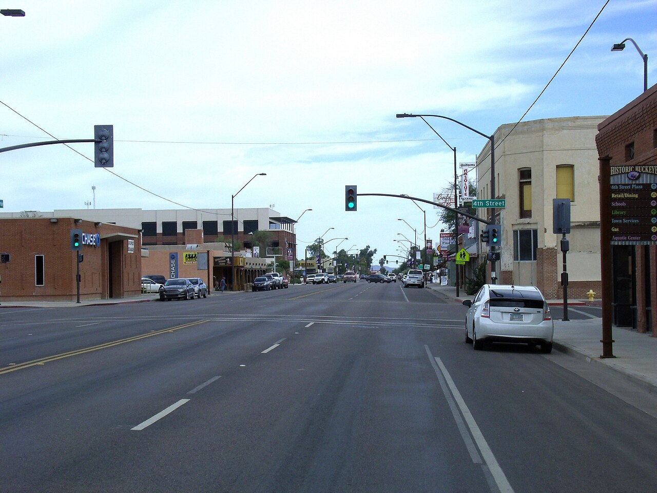
Today, Buckeye balances that rural charm with a rapidly expanding local economy. Major employers and distribution centers line the Interstate 10 and State Route 85 corridors, bringing steady job growth to the West Valley while keeping heavy commercial traffic away from residential neighborhoods. Closer to the center of town, historic downtown Buckeye serves as a welcoming civic hub. It is home to popular local spots like Buckeye Town Park, which features an aquatic center and skate park, along with the downtown library, which hosts community events and programs for families.

Outdoor recreation is one of the biggest perks of living in Buckeye. Just north of Interstate 10, Skyline Regional Park protects over 8,000 acres in the White Tank Mountains, offering miles of scenic trails for hiking, mountain biking, and horseback riding with panoramic valley views. Master-planned communities like Verrado bring a distinct neighborhood feel with tree-lined streets, local dining, golf courses, and vibrant public art celebrating the Sonoran Desert. With year-round sunshine and a friendly atmosphere, Buckeye gives relocators a relaxed suburban lifestyle with room to grow.
Top Rating Signals
Highest current ratings for this town.
Loading town details...