
Camarillo, CA

- Elevation
- 176 ft
- General Quality Overall rating out of 100
Highlights
What stands out in Camarillo
Explore
More places like Camarillo
About Camarillo
Camarillo sits tucked into the Pleasant Valley of Ventura County, right along Highway 101 just before the climb up the Conejo Grade. It strikes a comfortable balance between sunny coastal breezes and a relaxed suburban pace, sitting roughly halfway between Los Angeles and Santa Barbara. Old Town lines Ventura Boulevard with walkable local eateries, coffee spots, and historic storefronts, while newer shopping plazas and residential neighborhoods spread out toward the surrounding agricultural fields. With Metrolink commuter rail running right through town and open farmland bordering the neighborhoods, getting around feels easy without losing that open, semi-rural charm.

Daily life here comes with plenty of sunshine, great retail, and easy community amenities. Shoppers travel from across Southern California for the Camarillo Premium Outlets, which stretch along the freeway. On the southwest side of town, Camarillo Airport serves as a busy hub for private pilots, flight schools, and local businesses, along with the popular Waypoint Cafe where residents gather for breakfast to watch planes take off. The airport grounds also house a museum dedicated to vintage World War II aircraft, giving the area a distinct local flavor that blends quiet suburban living with unique local character.
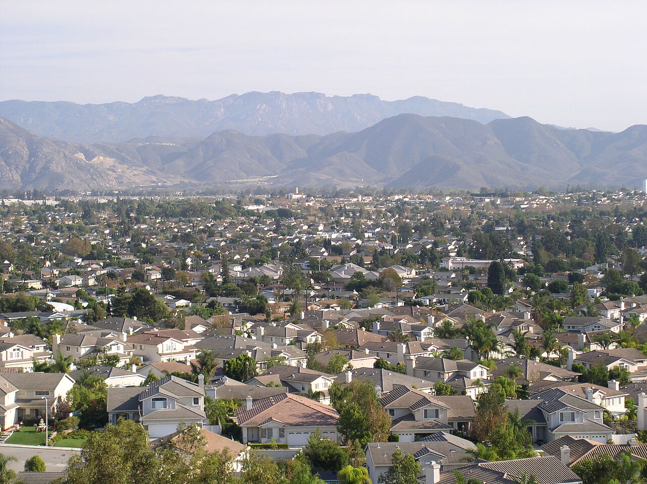
Just south of town against the Santa Monica Mountains sits California State University Channel Islands. The campus transformed the grounds of a former state hospital into a scenic, modern university with Spanish revival architecture, new academic halls, and hiking trails right outside classroom doors. The city's deep roots trace back to Adolfo Camarillo and the historic 1892 Camarillo Ranch House, which regularly hosts weekend tours, weddings, and community gatherings. It gives the area a grounded sense of heritage alongside great schools, quiet neighborhoods, and well-maintained parks.

Community spirit is easy to find throughout the year, with local traditions that bring neighbors together on weekends. Old Town fills up for weekly farmers markets, summer car shows, and the annual Heritage Days Fiesta with live music, food vendors, and carnival rides. On warm summer evenings, families bring picnic blankets to the community center for free concerts by the Camarillo Community Band. For outdoor recreation, spots like Camarillo Grove Park offer shady oak trails and dog parks at the foot of the hills, making the most of the valley's mild year-round climate.
Top Rating Signals
Highest current ratings for this town.
Loading town details...