
Carlsbad, CA

- Elevation
- 54 ft
- General Quality Overall rating out of 100
Highlights
What stands out in Carlsbad
Explore
More places like Carlsbad
About Carlsbad
Carlsbad's coastline is broken up by three scenic lagoons that give each neighborhood its own distinct layout and natural charm. Buena Vista sits at the northern border, Agua Hedionda rests in the middle, and Batiquitos frames the south end of town. These waterways create open green spaces, scenic hiking trails, and lively recreation spots right along the coast. Agua Hedionda is especially popular for powerboating, paddleboarding, and wakeboarding, while the peaceful trails along Batiquitos and Buena Vista offer birdwatching and quiet waterfront walks.

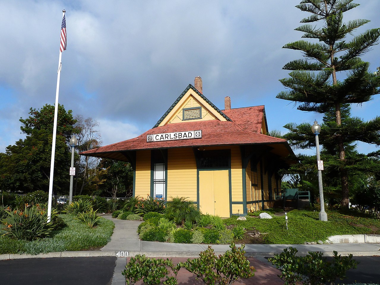
The city originally grew up around a late-nineteenth-century train stop, taking its name from a local mineral spring that tasted like the famous Karlsbad spa in Europe. Farming shaped the region for decades, leaving behind a colorful tradition at The Flower Fields, where giant ranunculus blooms cover fifty acres each spring. Over the years, Carlsbad evolved into a diverse economic powerhouse. Modern business campuses spread across the inland hills, hosting major biotech firms, tech companies, and famous action-sports headquarters, especially in golf and surf apparel.
Living in Carlsbad usually comes down to whether you prefer coastal energy or suburban space. Neighborhoods west of Interstate 5 put you within walking or biking distance of the ocean, while master-planned communities like Aviara, La Costa, and Bressi Ranch sit farther east near golf resorts, community parks, and family-friendly shopping centers. For daily travel, drivers rely on I-5, while commuters heading toward downtown San Diego or Orange County often hop on the COASTER train at either the Carlsbad Village or Poinsettia stations.

Carlsbad Village serves as the walkable downtown core, filled with casual coffee spots, craft breweries, boutique shopping, and lively outdoor patios. Right alongside it, the historic Barrio neighborhood preserves the community's deep cultural roots and original heritage. The popular Wednesday farmers market on State Street gives residents an easy excuse to grab fresh produce and catch up with neighbors. Between the world-class surf breaks, quiet trails, and welcoming community spaces, Carlsbad delivers an easygoing coastal lifestyle with all the perks of a modern Southern California city.
Top Rating Signals
Highest current ratings for this town.
Loading town details...