
Cascadia, OR
- Elevation
- 848 ft
- General Quality Overall rating out of 100
Highlights
What stands out in Cascadia
Explore
More places like Cascadia
About Cascadia
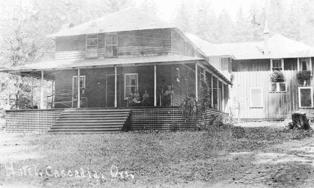
Tucked along Highway 20 about fourteen miles east of Sweet Home, Cascadia is a quiet mountain hamlet along the South Santiam River. Surrounded by dense Douglas fir forests and rushing water, it offers a peaceful rural escape in the foothills of the Cascade Range. The area began as a stagecoach stop and mineral spring resort in the late nineteenth century. Today, Cascadia County Park acts as the local hub, giving residents easy access to river swimming, shaded picnic spots, and a scenic trail to Soda Creek Falls.

For newcomers, Cascadia offers a secluded lifestyle centered around the outdoors, with fishing, hiking, and camping right outside your door. Most properties are spread out along the river and tucked into the woods, providing plenty of privacy and mountain air. While you will need to make the short drive into Sweet Home for grocery runs, schools, and daily services, Cascadia gives you a front-row seat to the Cascades and a relaxed, close-to-nature way of life.
Top Rating Signals
Highest current ratings for this town.
Loading town details...