
Catalina Foothills, AZ

- Elevation
- 2,575 ft
- General Quality Overall rating out of 100
Highlights
What stands out in Catalina Foothills
Explore
More places like Catalina Foothills
About Catalina Foothills
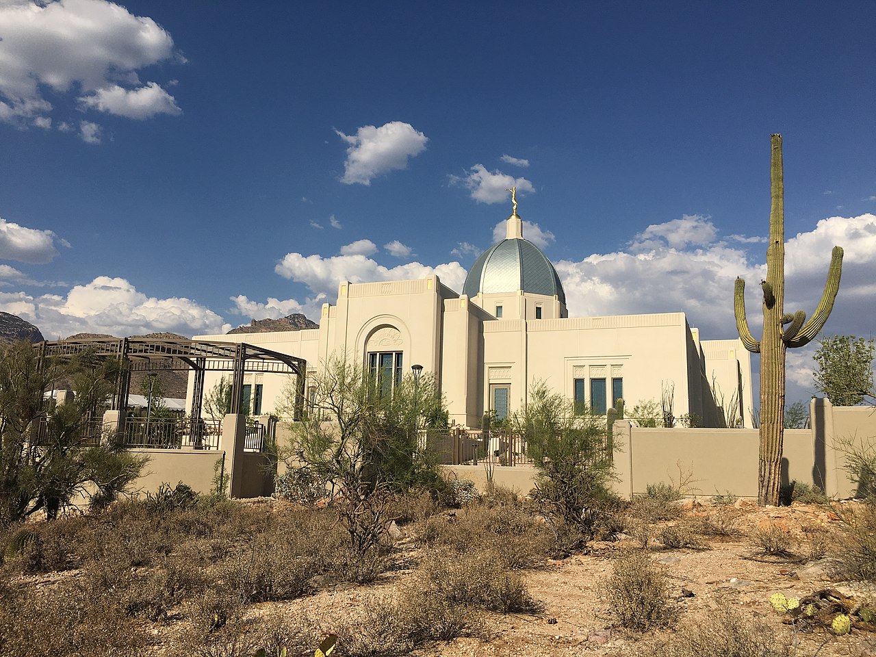
Perched along the base of the Santa Catalina Mountains just north of central Tucson, the Catalina Foothills is one of Southern Arizona’s most scenic residential areas. As an unincorporated part of Pima County, the community is laid out along winding, saguaro-lined roads that climb gently toward rugged canyon mouths. Many homes enjoy sweeping views across the Tucson valley along with dramatic mountain backdrops in their backyards. Having a Tucson mailing address here gives you direct proximity to the Coronado National Forest alongside quiet, spacious neighborhoods. Developer John Murphey and Swiss-born architect Josias Joesler established much of the region's early built character, creating an enduring look for foothills living.

Joesler and Murphey designed hundreds of homes and landmarks that blended Spanish Colonial, Mission, and Pueblo Revival architecture with the Sonoran Desert. Today, that influence shapes the neighborhood's visual appeal, where low-profile adobe walls, heavy wood timbers, and red-clay roof tiles blend into hillsides filled with giant saguaros and mesquite trees. Thoughtful county zoning keeps modern custom builds and gated enclaves integrated with the desert landscape. It creates a serene, upscale environment where properties offer generous privacy, protected mountain vistas, and a peaceful desert setting.

Local culture and daily conveniences are woven throughout the foothills. A standout regional landmark is the DeGrazia Gallery in the Sun, a historic multi-acre compound crafted by artist Ted DeGrazia from local stone and sun-dried adobe. Visitors and residents regularly explore its quiet courtyards, rustic chapel, and gallery spaces showcasing classic Southwestern art. For everyday errands, shopping, and dining, the community gravitates to upscale outdoor centers like La Encantada, where open-air patios, specialty boutiques, and cozy cafes provide welcoming places to gather on mild desert evenings.
For outdoor lovers, great hiking starts right at the ends of residential streets. Trailheads for iconic routes like Pima Canyon, Pontatoc, and Finger Rock sit against the mountain base, providing immediate access to rugged peaks and scenic desert washes. The trailhead parking lots fill quickly on cool weekend mornings, making close proximity a huge perk for residents who want an early start on the trails. Between convenient neighborhood spots like the Dusenberry-River Library, highly regarded school districts, and the national forest practically next door, the Catalina Foothills provides a comfortable, nature-focused lifestyle.
Top Rating Signals
Highest current ratings for this town.
Loading town details...