
Chamita, NM
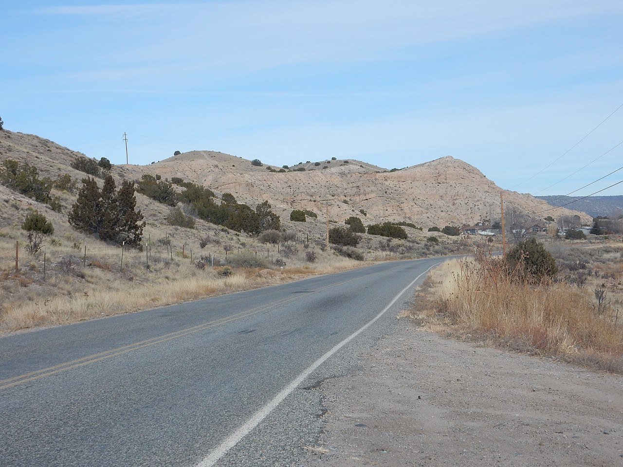
- Elevation
- 5,722 ft
- General Quality Overall rating out of 100
Highlights
What stands out in Chamita
Explore
More places like Chamita
About Chamita
Located right where the Rio Chama meets the Rio Grande, Chamita is a quiet, scenic community in northern New Mexico with deep roots. Originally known as San Pedro de Chamita, the area once served as the first county seat of Rio Arriba County. For generations, daily life here has centered on the river valley and its traditional acequia irrigation ditches, which keep the pastures, orchards, and small farms lush throughout the growing season.
Living in Chamita offers a peaceful, rural lifestyle with easy access to everyday conveniences. State Road 74 runs right through the community, putting Española's schools, grocery stores, and local restaurants just a short drive away. Neighborhoods here consist of spread-out homes, historic adobes, and generous lots with expansive views of the nearby hills and cottonwood trees. It is a welcoming option for newcomers looking for space, rich local heritage, and a relaxed valley rhythm.
Top Rating Signals
Highest current ratings for this town.
Loading town details...