
Clayville, RI
- Elevation
- 447 ft
- General Quality Overall rating out of 100
Highlights
What stands out in Clayville
Explore
More places like Clayville
About Clayville
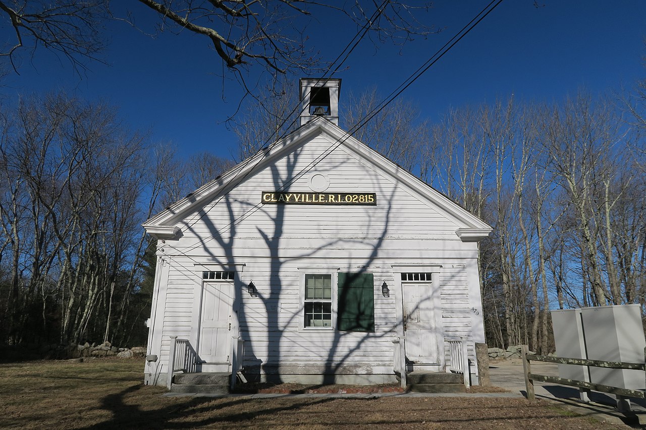
Clayville is a tiny, peaceful village tucked away in western Rhode Island, split right down the middle between the rural towns of Foster and Scituate. Home to only a few hundred residents, it has the feel of a quiet country crossroads frozen in time. Historic 18th- and 19th-century farmhouses, former mill buildings, and classic New England stone walls line Plainfield Pike and Victory Highway, giving the neighborhood a cozy, well-preserved charm.

Life here revolves around open space and tranquility. You can take a peaceful walk past the old mill pond and historic Christian Church, or explore the hiking trails and scenic woodlands around the nearby Westconnaug Reservoir. Because the village sits right on the town line, everyday life is shared between Foster and Scituate, offering a secluded, small-town lifestyle that still keeps you within an easy drive of Providence.
Top Rating Signals
Highest current ratings for this town.
Loading town details...