
Corona, CA

- Elevation
- 678 ft
- General Quality Overall rating out of 100
Highlights
What stands out in Corona
Explore
More places like Corona
About Corona
Corona earned its nickname, the Circle City, from Grand Boulevard, a three-mile circular street laid out in the late 1800s that encloses the historic downtown grid. Originally named South Riverside before incorporating as Corona (Spanish for "crown"), the town grew up as a thriving citrus capital blanketed by lemon and orange groves. In the 1910s, local promoters even turned the massive circular boulevard into an international road-racing track that drew tens of thousands of spectators. Over the decades, Corona expanded well beyond that original ring, developing into a lively, family-friendly suburban community.

Today, residential neighborhoods climb south and west into the scenic foothills near the Cleveland National Forest, offering mountain views and easy access to hiking trails. Corona sits right where State Route 91 meets Interstate 15, placing it at a convenient crossroads between the Inland Empire and Orange County. That prime location brings plenty of retail centers and business parks, though peak-hour traffic on the 91 is a familiar part of life here. For commuters looking to skip the drive, two local Metrolink stations, Corona-West and North Main Corona, offer convenient train service into Orange County, Riverside, and downtown Los Angeles.
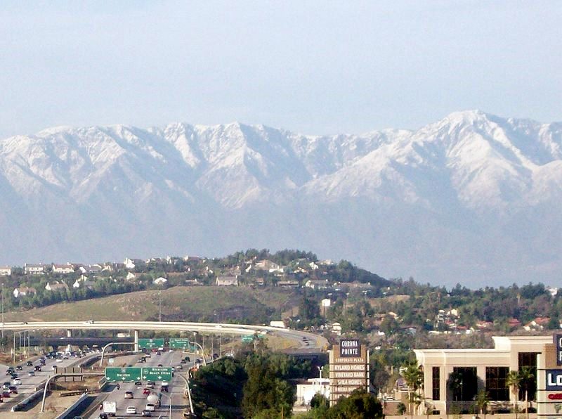
The local job market features a strong mix of corporate offices, logistics hubs, healthcare providers, and retail centers, with Monster Beverage basing its global corporate headquarters right in town. Everyday shopping, dining, and entertainment are spread throughout the city, from neighborhood spots along Main Street to popular outdoor centers like The Promenade Shops at Dos Lagos and The Crossings in South Corona. Neighborhoods vary nicely depending on your lifestyle, from the quiet foothill settings of master-planned communities like Sierra Del Oro to convenient central areas close to transit and schools.
Even with all the suburban growth, community gatherings still center around Grand Boulevard. The historic downtown core is home to the Corona Public Library, the Circle City Center, and park spaces that host youth sports, seasonal festivals, and weekend events. Nearby, the Corona Heritage Park and Museum preserves the area's citrus heritage with historic ranch houses and community gardens. With ongoing downtown revitalization bringing new local eateries, craft breweries, and walkable streetscapes to the center of town, Corona's famous three-mile circle continues to serve as a welcoming anchor for residents.
Top Rating Signals
Highest current ratings for this town.
Loading town details...