
Cupertino, CA

- Elevation
- 237 ft
- General Quality Overall rating out of 100
Highlights
What stands out in Cupertino
Explore
More places like Cupertino
About Cupertino
Cupertino does not have a traditional downtown. Instead, the city spreads out across several distinct hubs and quiet residential neighborhoods. The intersection of Stevens Creek and De Anza boulevards forms the main commercial crossroads, filled with popular Asian bakeries, boba shops, and everyday grocery spots. Heading west, residential streets climb gently toward the Santa Cruz Mountain foothills. Torre Avenue gathers the civic buildings, De Anza College anchors the western side of town, and Apple Park sits prominently near Interstate 280. The city feels like a collection of mini-centers, with each pocket offering its own distinct rhythm.

Before it became a global tech capital, Cupertino had deep roots in agriculture. The area was long home to the Tamyen Ohlone people, and by the late nineteenth century, lush vineyards and fruit orchards covered the valley floor. When rapid growth swept through the South Bay in the mid-twentieth century, local residents officially incorporated the city in 1955 to protect their community identity. Over the following decades, fruit packing houses gave way to tech campuses, quiet subdivisions, and top-rated schools. De Anza College, founded in 1967 on the grounds of a historic winery estate, still bridges that heritage with modern community life, serving as an educational anchor and a popular gathering spot.

Apple has called Cupertino home since the late 1970s, and its presence is woven into the local landscape. While the main spaceship building at Apple Park is a secure workplace, the Apple Park Visitor Center welcomes neighbors and tourists with a rooftop viewing deck, a specialty cafe, and an interactive campus model. Over along Stevens Creek Boulevard, the massive redevelopment at the old Vallco mall site is gradually taking shape with plans for new housing, green spaces, and retail. For civic events and quiet afternoons, Torre Avenue is the friendliest focal point. City Hall and the Cupertino Library open out onto a sunny community plaza, sitting right next to Memorial Park, sports courts, and local activity centers.
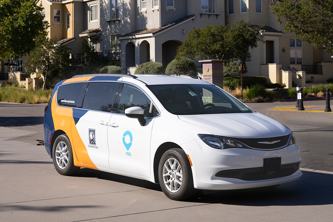
For fresh air and weekend downtime, outdoor spots are never far away. McClellan Ranch Preserve offers a shaded creekside retreat with preserved farm buildings, a nature center, and walking paths that connect directly to Blackberry Farm and foothill trails. Getting around town generally relies on a car, but there are handy local alternatives. Valley Transportation Authority buses run along major corridors like Stevens Creek Boulevard, and the Silicon Valley Hopper provides affordable, on-demand shared van rides throughout Cupertino and into Santa Clara. Whether you are commuting to a tech campus, heading to class at De Anza, or walking the kids to neighborhood parks, daily routines here settle into an easy, family-friendly suburban cadence.
Top Rating Signals
Highest current ratings for this town.
Loading town details...