
Daly City, CA

- Elevation
- 407 ft
- General Quality Overall rating out of 100
Highlights
What stands out in Daly City
Explore
More places like Daly City
About Daly City
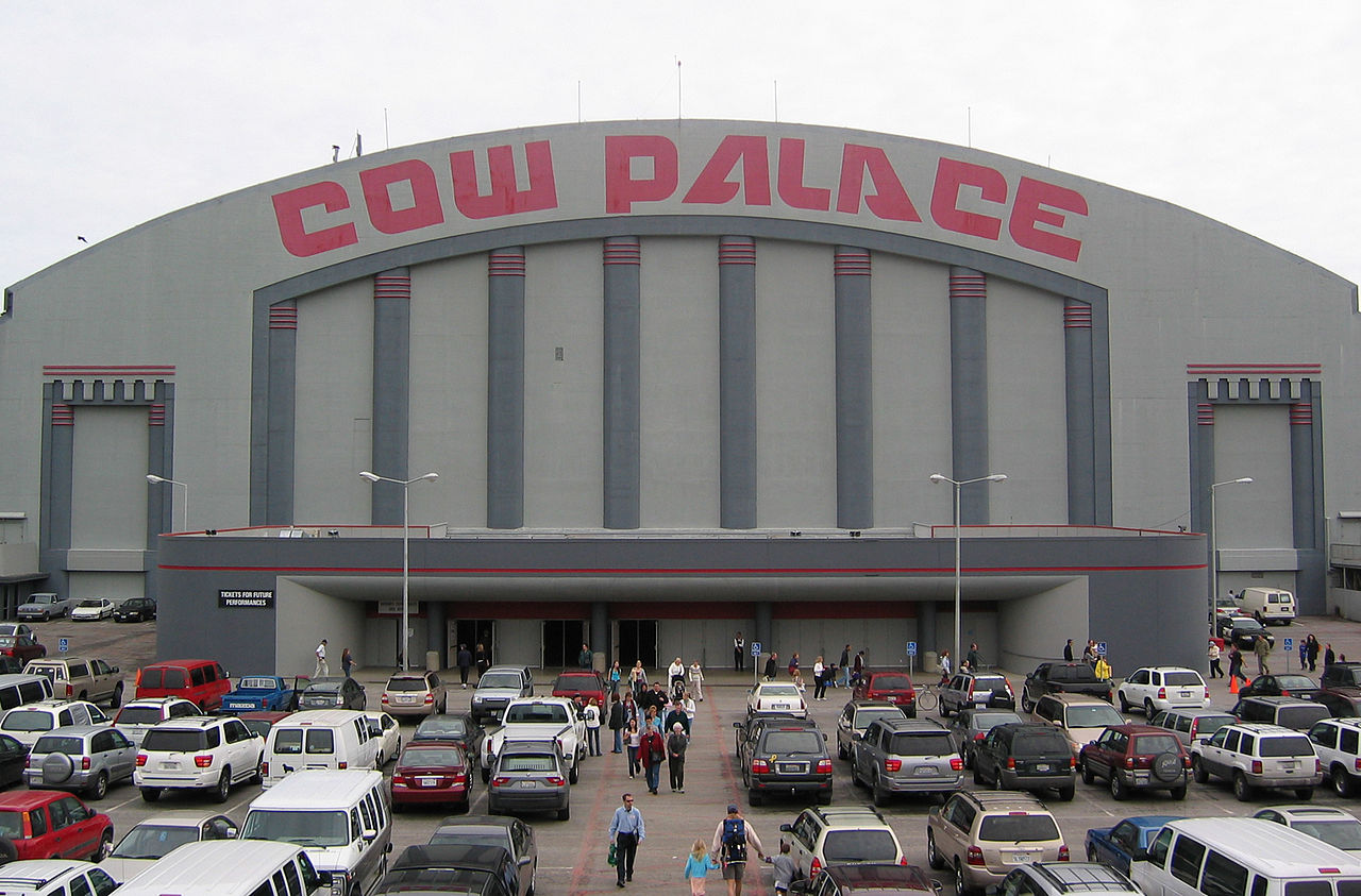
Right on the southern border of San Francisco, Daly City offers a convenient, fog-swept home base for anyone looking to stay close to the city while enjoying a little more space. The community splits into distinct pockets shaped by steep hills and Interstate 280. Up north, original Daly City borders Lake Merced, while Westlake stretches out toward the Pacific bluffs. Further south, Serramonte and St. Francis cluster around major retail hubs, and over on the eastern slope sits Bayshore near the historic Cow Palace. Depending on where you settle, daily errands will likely take you to either the bustling Westlake Shopping Center or the sprawling Serramonte corridor.

The city traces its modern roots back to the 1906 San Francisco earthquake, when dairy farmer John Daly opened his pastures to shelter displaced refugees. Many of those temporary camps became permanent, and salvaged earthquake cottages still dot some of the older neighborhoods along Mission Street. In the late 1940s, homebuilder Henry Doelger bought hundreds of coastal acres to build Westlake, a massive planned community that helped inspire the famous song about colorful houses on the hillside. Today, you will see a mix of those compact historic homes, tidy mid-century tract houses, and newer hilltop developments overlooking the ocean.

Often called the Filipino capital of the Bay Area, Daly City is known for its strong community spirit and incredible food scene. About a third of the population is Filipino American, which shapes everyday life across town. You can grab fresh pan de sal from neighborhood bakeries, pick up specialty groceries at Seafood City, or join in annual traditions like the Philippine flag-raising at City Hall and the Kasayahan festival in October. Major employers close to home include Seton Medical Center and the local school districts, alongside a steady base of retail and service jobs centered around Serramonte.
For commuters, the location is hard to beat. The Daly City BART station sits right at the northern edge of town, functioning as a major transit junction where BART trains, SamTrans buses, and San Francisco Muni routes all connect. A ride into downtown San Francisco takes around twenty minutes, while Interstate 280 provides a straightforward drive north into the city or south down the Peninsula toward Silicon Valley. Getting between local neighborhoods usually means taking winding surface streets or neighborhood buses, but whether you are heading to work or catching the sunset from Mussel Rock, getting around the region is quick and accessible.
Top Rating Signals
Highest current ratings for this town.
Loading town details...