
Edmonds, WA
- Elevation
- 65 ft
- General Quality Overall rating out of 100
Highlights
What stands out in Edmonds
Explore
More places like Edmonds
About Edmonds
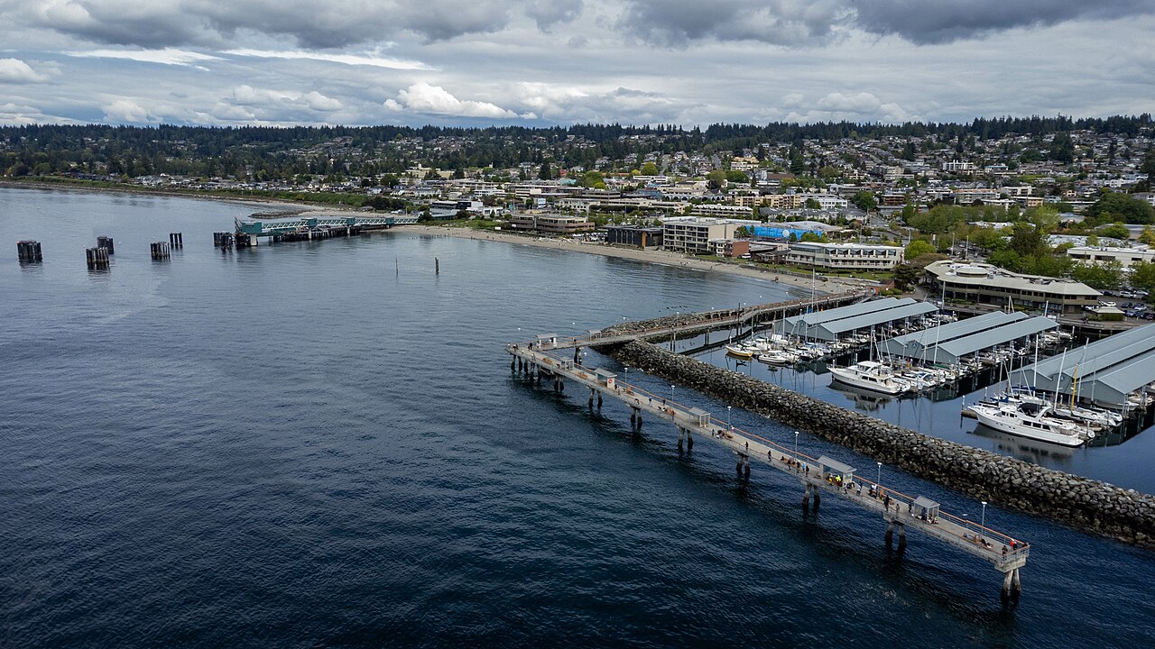
Edmonds is one of those Puget Sound towns where the waterfront shapes everyday life. On clear days, you can stand along the beach and watch Washington State Ferries glide across to Kingston with the snow-capped Olympic Mountains in the distance. For commuters, heading into downtown Seattle is scenic and straightforward, with weekday Sounder trains picking up passengers right beside the water. Between the sandy stretches at Brackett's Landing, the marina, and the quiet rhythm of the tides, the shoreline gives the entire town an easygoing, coastal feel.

Just uphill from the water sits downtown Edmonds, locally known as the "Bowl." It is a walkable, leafy district filled with independent boutiques, bakeries, craft coffee shops, and patio dining. You can spend a quiet afternoon browsing local galleries or checking out regional exhibits at the Cascadia Art Museum. In the evenings, locals head to the Edmonds Center for the Arts for live music and theater, keeping the neighborhood lively long after the shops close.

Community events keep the social calendar full throughout the year. The annual Edmonds Arts Festival draws artists and visitors from across the region, while the Saturday market brings fresh produce and artisan goods downtown all summer long. Free outdoor concerts at City Park and Hazel Miller Plaza make easy weeknight outings with neighbors. Closer to residential streets, pocket shopping centers like Westgate and Five Corners provide handy spots for daily errands, pharmacy stops, and quick dinners.

Further east along Highway 99, the city takes on a very different, practical pace. This corridor is home to the Edmonds International District, a go-to destination for great food featuring Korean barbecue, authentic noodle shops, and large Asian supermarkets like H Mart. It is also where you will find Swedish Edmonds Hospital, offering comprehensive healthcare services and steady local jobs. Having these major everyday conveniences just up the hill complements the slower, village-like atmosphere down by the bay.
Top Rating Signals
Highest current ratings for this town.
Loading town details...