
Fairfield, CA

- Elevation
- 14 ft
- General Quality Overall rating out of 100
Highlights
What stands out in Fairfield
Explore
More places like Fairfield
About Fairfield
Fairfield sits right between the San Francisco Bay Area and Sacramento, spreading out across several distinct areas. In the middle of town, you will find the historic downtown and civic center. Over on the west side, Cordelia sits at the intersection of Interstate 80 and Interstate 680, separated from central Fairfield by the rolling hills, farms, and vineyards of Suisun Valley. To the northeast, newer residential neighborhoods stretch toward Travis Air Force Base. With scenic hills framing the north and the vast wetlands of Suisun Marsh bordering the south, where you choose to settle will shape your daily commute, shopping options, and neighborhood feel.
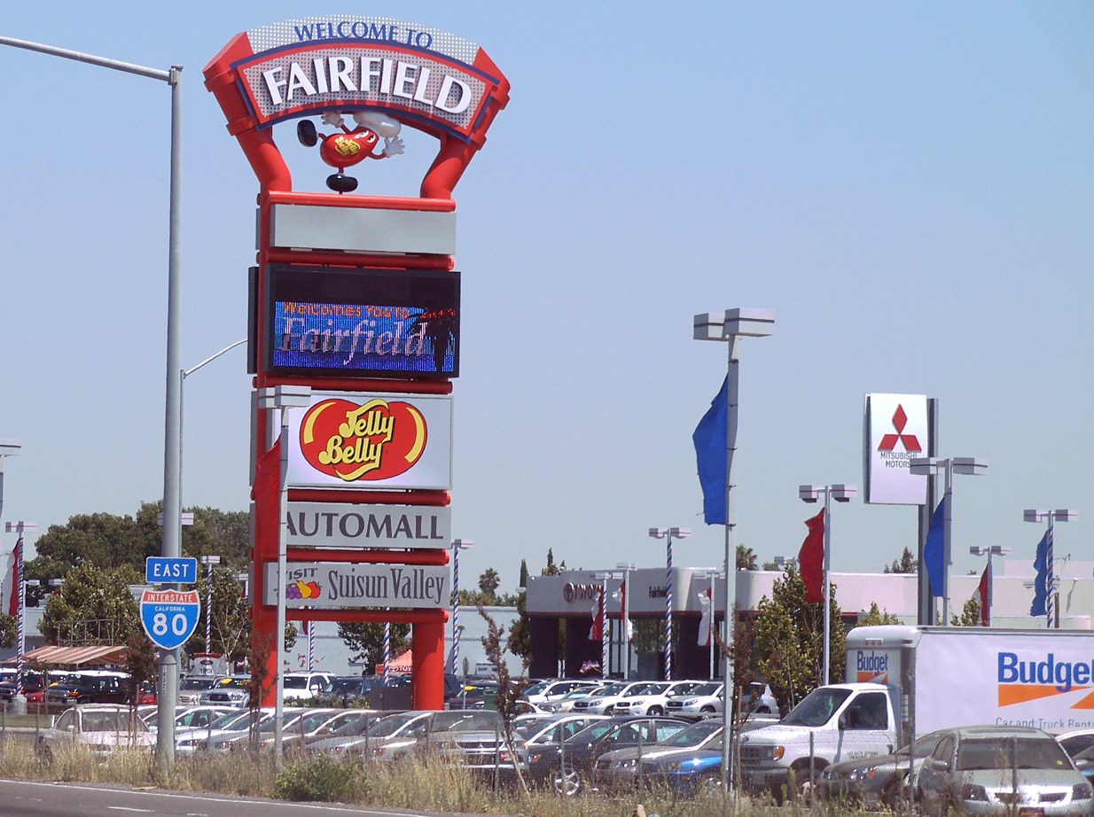
The local economy is anchored by several major employers, most notably Travis Air Force Base. As one of the nation's busiest military air mobility hubs, the base brings a steady presence of service members and their families into the community. Health care is another major driver, with NorthBay Health operating extensive facilities in town, alongside Solano County government offices and large distribution centers along the highway corridors. Fairfield is also known for food manufacturing, including the Jelly Belly candy factory, which draws visitors for self-guided tours and tastings. This mix of military, medical, logistics, and manufacturing work provides a solid local job market.

Downtown Fairfield centers on Texas Street, where the community originally grew after becoming the Solano County seat in the 1850s. Today, this stretch remains the administrative heart of the area, hosting City Hall, county courts, the library, and a collection of mom-and-pop eateries and local businesses. Commuting across Northern California is relatively convenient from here. Two Capitol Corridor train stations, one near downtown in neighboring Suisun City and the other at the Fairfield-Vacaville station to the northeast, provide direct rail connections to Sacramento and the East Bay, backed up by local FAST buses.

Day-to-day living in Fairfield offers a comfortable suburban rhythm with great outdoor access. Rockville Hills Regional Park gives hikers and mountain bikers miles of trails through oak woodlands, while the neighboring Suisun Valley provides scenic farm stands and relaxed wine tasting. On Thursday evenings from late spring through early autumn, residents gather at the downtown County Green on Texas Street for the weekly farmers market, picking up fresh produce and dinner from local food vendors. Between its central location, diverse neighborhoods, and easy access to open spaces, Fairfield offers a practical, grounded place to put down roots.
Top Rating Signals
Highest current ratings for this town.
Loading town details...