
Fontana, CA

- Elevation
- 1,236 ft
- General Quality Overall rating out of 100
Highlights
What stands out in Fontana
Explore
More places like Fontana
About Fontana
Fontana has grown from a quiet farming community into one of the Inland Empire's largest cities. Back in the early 1900s, the area was covered in citrus groves and vineyards, but World War II changed everything when Henry J. Kaiser opened a massive steel mill here. That plant brought thousands of workers to the region and put Fontana on the map. Even the healthcare giant Kaiser Permanente traces its origins to the medical plan created for those steelworkers. Today, Fontana sits nestled right beneath the San Gabriel Mountains, stretching down toward the Jurupa Hills, balancing its industrial heritage with quiet residential pockets.
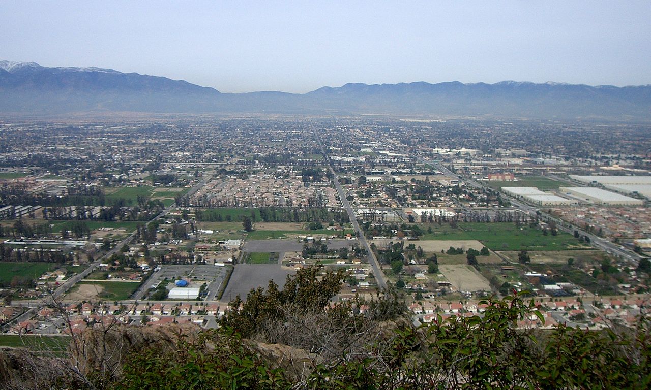
Where you choose to live in Fontana shapes your everyday experience. North Fontana features newer master-planned communities, spacious parks, and convenient shopping centers with stunning mountain backdrops. In the south, neighborhoods like Southridge wind up into the foothills, offering a quieter suburban feel. Central Fontana holds the city's historic core, where older single-family homes sit close to schools, local restaurants, and civic buildings. Because the city sits right near the Cajon Pass, you can expect strong seasonal winds during the fall and winter, while easy access to the 10, 15, and 210 freeways keeps the rest of Southern California within reach.

Because Fontana sits at a major crossroads for rail lines and highways, logistics and shipping play a major role in the local economy. You will see large warehouses and distribution centers, particularly in the southwest corner of town. For homebuyers, this means truck routes and warehouse proximity are important factors to keep in mind when exploring different neighborhoods. The city enforces buffer zones, landscaping requirements, and cleaner vehicle standards to keep commercial traffic separate from residential areas, making it easy to find peaceful streets just a short drive from major job centers.

Downtown Fontana offers a great mix of local history, community culture, and easy transit. The centerpiece is the restored 1915 train depot, which now serves as the Art Depot Gallery for local art exhibits, workshops, and family events. Right outside, the Pacific Electric Trail provides miles of paved path for morning jogs, bike rides, and walks that connect Fontana to neighboring cities. Commuters can catch the Metrolink at the downtown station for a direct train ride into downtown Los Angeles or across San Bernardino County. Together with the nearby Lewis Library and community parks, the area gives residents a welcoming, walkable gathering spot.
Top Rating Signals
Highest current ratings for this town.
Loading town details...