
Glenwood, GA
- Elevation
- 196 ft
- General Quality Overall rating out of 100
Highlights
What stands out in Glenwood
Explore
More places like Glenwood
About Glenwood
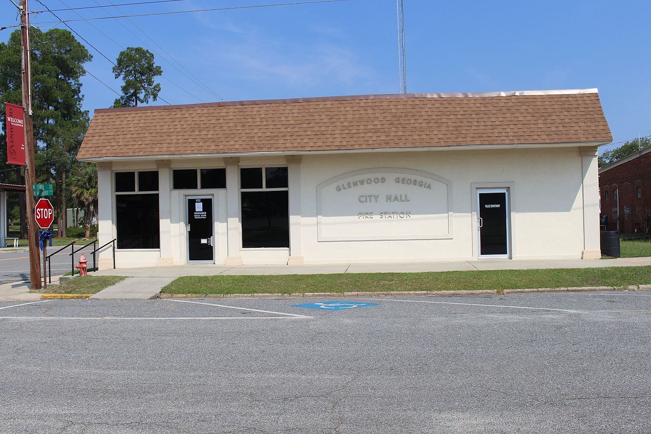
Glenwood is a quiet, small-town community centered around the intersection of Georgia 19 and US 280, marked by the town's only stoplight. Historic brick storefronts and the old railroad line anchor the downtown area, giving it a classic rural Georgia feel. Just down the road, the historic former high school building still stands as a recognizable landmark, while Sweetwater Horse Event Park draws crowds for weekend equestrian competitions and community gatherings.

Daily life here is relaxed and neighborly, with residents sharing Wheeler County services and amenities with nearby Alamo just a short drive down the highway. Longstanding local institutions like the independent Glenwood Telephone Company keep the area connected, while the open countryside and quiet back roads provide plenty of room to breathe. It is a peaceful, welcoming place for newcomers looking to trade city traffic for a slower pace and affordable rural living.
Top Rating Signals
Highest current ratings for this town.
Loading town details...