
Grayville, IL
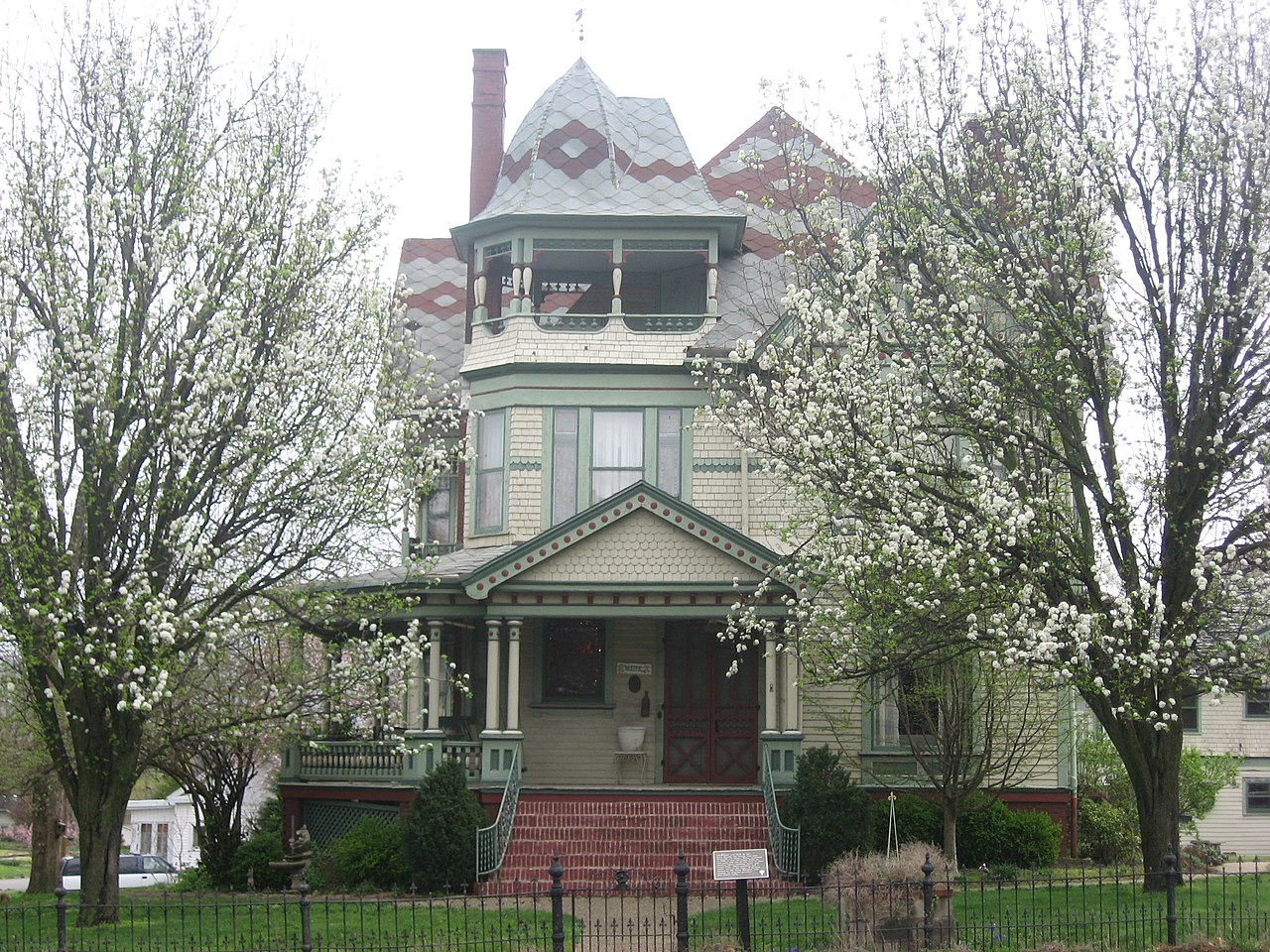
- Elevation
- 428 ft
- General Quality Overall rating out of 100
Highlights
What stands out in Grayville
Explore
More places like Grayville
About Grayville
Straddling the border of Edwards and White counties in southeastern Illinois, Grayville is a quiet river town with roots dating back to the early 1800s. Originally settled as a trading post on the Wabash River, the town later thrived during the southern Illinois oil boom. A major flood in 1985 redirected the main flow of the Wabash, leaving a calm oxbow lake by town where residents still boat, fish, and spend time outdoors along Bonpas Creek.

For anyone thinking about relocating, Grayville provides the relaxed pace of a close-knit community alongside convenient travel connections. Interstate 64 sits right at the edge of town, making it easy to commute across the Indiana state line toward Evansville, while Illinois Route 1 connects directly to neighboring towns. It offers an affordable, peaceful place to settle down with plenty of history and scenic river country close by.
Top Rating Signals
Highest current ratings for this town.
Loading town details...