
Greenfield, CA (City)

- Elevation
- 288 ft
- General Quality Overall rating out of 100
Highlights
What stands out in Greenfield
Explore
More places like Greenfield
About Greenfield
Tucked into the southern Salinas Valley, Greenfield sits flat and sunny between the Santa Lucia Range to the west and the Gabilan Mountains to the east. It is a compact, growing community where residential streets quickly open up to sweeping agricultural views. Most households are on the larger side, often with multiple generations living together, and residents tend to put down roots and stay for years. While home prices and rents are noticeably more approachable here than in coastal cities like Monterey or Carmel, they still reflect the general cost of living on the Central Coast. For prospective buyers and renters, it offers a friendly small-town feel backed by gorgeous mountain scenery.
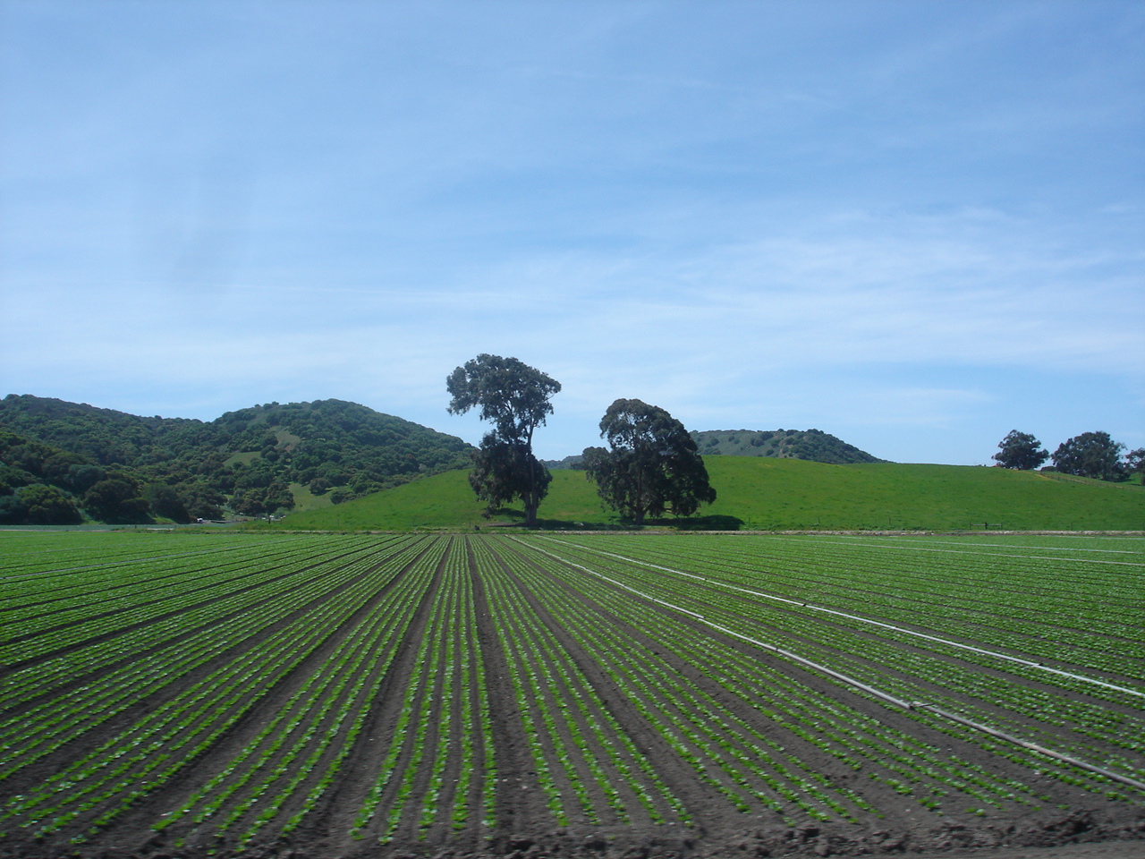
Farming has shaped the town since its beginnings in the early 1900s, when irrigation canals first brought reliable water to the valley floor. Today, green vegetable fields still border the neighborhoods, and award-winning wine vineyards cover the nearby benchlands along the Arroyo Seco corridor. Highway 101 runs right along the edge of town, making it easy to commute north toward Salinas or south into southern Monterey County. Greenfield takes deep pride in its farming heritage, coming together each autumn for the annual Harvest Festival, a lively tradition that evolved from the town's original Broccoli Festival to showcase local food, music, and crafts.

Day-to-day activity centers along El Camino Real and around Patriot Park. Spanning nearly twenty acres, the park is the primary recreation hub with its sports fields, courts, skate park, walking paths, and community center. Nearby, the Greenfield Community Science Workshop is a standout local resource where kids and families drop in for free hands-on learning, tinkering with tools and fixing up bicycles or skateboards. Right down the street, the Monterey County branch library provides a welcoming bilingual space with after-school homework help, computer access, storytimes, and colorful murals celebrating local history.

The city's vibrant Hispanic culture is central to everyday life, with Spanish and English blending naturally at local markets, neighborhood bakeries, and city events. Getting around without a car is relatively straightforward because local buses run regular loops between neighborhoods, schools, and shopping areas every half hour, alongside regional connections up and down the valley. Between busy school afternoons, weekend soccer games at the park, and downtown parades with music and classic cars, Greenfield is an energetic, family-centered town with a genuine sense of connection.
Top Rating Signals
Highest current ratings for this town.
Loading town details...