
Idaho Falls, ID
- Elevation
- 4,707 ft
- General Quality Overall rating out of 100
Highlights
What stands out in Idaho Falls
Explore
More places like Idaho Falls
About Idaho Falls
The Snake River runs right through the heart of Idaho Falls, shaping everyday life in town. Along its banks, you will find the Greenbelt River Walk, a scenic five-mile loop that locals use year-round for jogging, walking dogs, or catching an evening sunset over the falls. The waterfall itself is a wide, roaring cascade right beside downtown, framed by landscaped parks, riverside dining, and community gardens. It gives the city a refreshing outdoor feel, where you can leave an office or coffee shop and be strolling along the water in minutes.

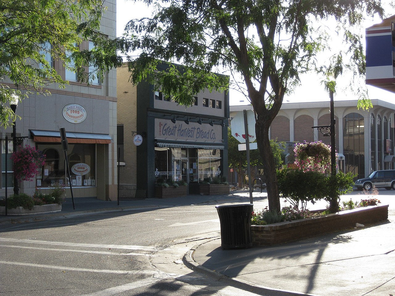
The town originally grew as a river crossing for pioneer wagons and miners before expanding with the railroad in the late 1800s. Back then, it was known as Eagle Rock, but early leaders renamed it Idaho Falls in 1891 to highlight the natural beauty of the river. That history is still easy to see when you wander through the historic downtown area, where classic brick storefronts now house local bakeries, craft breweries, and family-owned boutiques. It retains a grounded, welcoming Western character rooted in the surrounding farming valleys.

Today, the local economy gets a major boost from Idaho National Laboratory, the country's leading nuclear energy research facility. The lab and its in-town tech campus draw engineers, scientists, and tech professionals from across the country, creating a well-educated community and steady, high-paying jobs. Paired with major regional hospitals, agricultural businesses, and a convenient regional airport, Idaho Falls acts as the commercial hub for eastern Idaho. You get the stability and career opportunities of a larger metro area alongside short commutes and easy access to nature.

Community events bring people together throughout the year, from bustling summer farmers markets to the annual Great Snake River Duck Race, where thousands of rubber ducks float past downtown to fund park improvements. Cultural spots like the Museum of Idaho and the Art Museum of Eastern Idaho sit right near the river, alongside peaceful spots like the Japanese Friendship Garden. When you want to venture further, world-class skiing, blue-ribbon trout fishing, and the gates of Grand Teton and Yellowstone National Parks are all within an easy weekend drive.
Top Rating Signals
Highest current ratings for this town.
Loading town details...