
La Cañada Flintridge, CA

- Elevation
- 1,184 ft
- General Quality Overall rating out of 100
Highlights
What stands out in La Cañada Flintridge
Explore
More places like La Cañada Flintridge
About La Cañada Flintridge
Set against the base of the San Gabriel Mountains just north of Glendale and Pasadena, La Cañada Flintridge is one of the quietest and most desirable communities in the greater Los Angeles area. The city formed in the late 1970s when the neighboring areas of La Cañada and Flintridge joined together to protect their quiet, small-town character. Today, it is primarily an upscale residential community known for top-rated public schools, spacious lots, and leafy streets. It also hosts NASA's famed Jet Propulsion Laboratory along its eastern border, lending the town a strong connection to aerospace and science.

The natural surroundings define daily life here. Backed directly against the Angeles National Forest, the city offers scenic mountain backdrops, slightly cooler foothill temperatures, and immediate access to wilderness trails. The 210 freeway runs right through the valley, giving residents an easy drive to Pasadena, Burbank, and downtown Los Angeles. Neighborhoods range from mid-century ranch homes and custom hillside properties to historic equestrian estates, maintaining a peaceful, semi-rural feel without sacrificing proximity to the city.

Foothill Boulevard serves as the main commercial strip, lined with neighborhood grocery stores, banks, independent cafes, and local restaurants. On Saturday mornings, residents gather across from Memorial Park for the weekly farmers market, picking up fresh produce, baked goods, and flowers. Just south of the boulevard sits Descanso Gardens, a 150-acre botanical garden featuring shaded oak woodlands, blooming camellias, and year-round seasonal events that make it a favorite weekend destination for families.
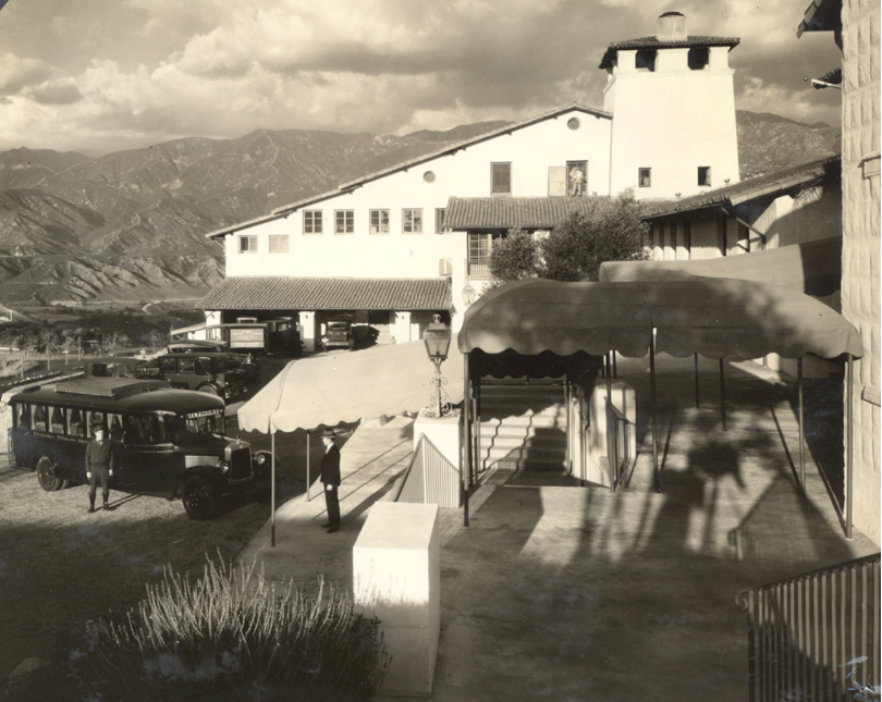
Community spirit is strong, built around long-running local traditions like the Memorial Day Fiesta Days parade, summer park concerts, and neighborhood runs. For outdoor enthusiasts, more than 20 miles of interconnected trails wind through the foothills, accommodating hikers, trail runners, and equestrians. With its safe neighborhoods, active youth sports, and preserved historical sites like the 1915 Lanterman House, La Cañada Flintridge appeals strongly to buyers looking for a tranquil, family-oriented place to settle down.
Top Rating Signals
Highest current ratings for this town.
Loading town details...