
Lafayette, CA

- Elevation
- 306 ft
- General Quality Overall rating out of 100
Highlights
What stands out in Lafayette
Explore
More places like Lafayette
About Lafayette
Lafayette got its start in the mid-1800s around what is now the corner of Mount Diablo Boulevard and Moraga Road, serving as a quiet farming and milling settlement in the East Bay hills. Over time, that historic crossroads grew into the town's charming downtown. While the area has deep roots going back to early Indigenous settlements and Spanish ranchos, modern Lafayette has managed to keep a relaxed, village-like character even as it evolved into one of the most desirable suburbs in Contra Costa County. Today, the downtown corridor stretches along Mount Diablo Boulevard, blending historic touches with modern boutiques and restaurants.

Strolling through downtown gives you an immediate feel for the community. The core around Lafayette Plaza is packed with local shops, popular bakeries, coffee spots, and outdoor dining patios where neighbors constantly cross paths. Throughout the year, local events bring the streets to life, especially the annual Lafayette Art and Wine Festival each fall, which draws visitors from all over the region with live music, artisan booths, and local food. Commuting is also remarkably easy; the Lafayette BART station sits just north of the retail core, offering a fast and direct train ride straight into Oakland and downtown San Francisco.
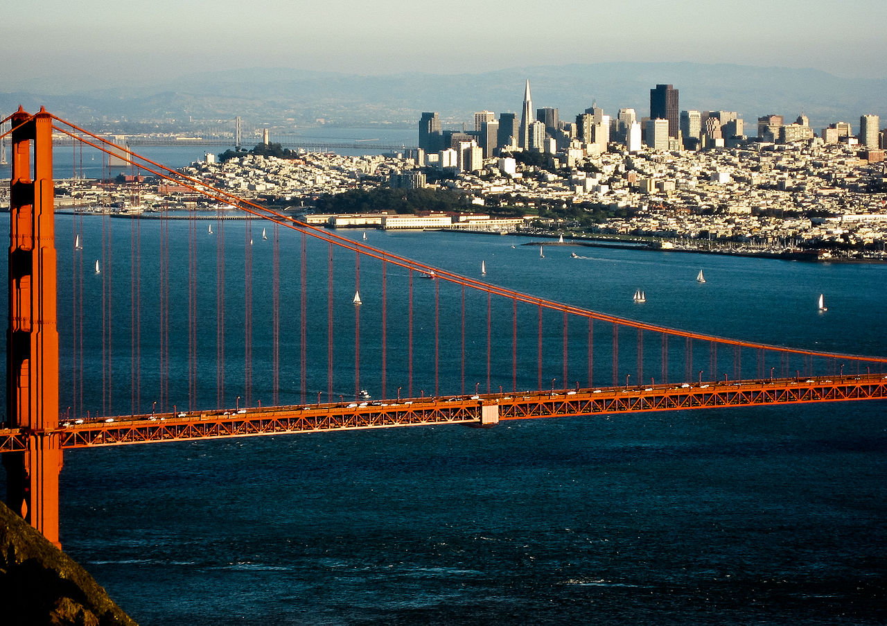
Just south of the main strip, the Lafayette Library and Learning Center serves as a lively focal point for families, students, and readers. The expansive campus features an outdoor amphitheater, community meeting halls, teen study spaces, and regular author events and workshops. Walking and biking are also easy here, thanks to local multi-use paths that link residential neighborhoods directly to transit and schools. Everything in town is clustered neatly around the Highway 24 corridor, so you can easily run errands, take a fitness class, or meet friends for dinner without spending half your afternoon in the car.
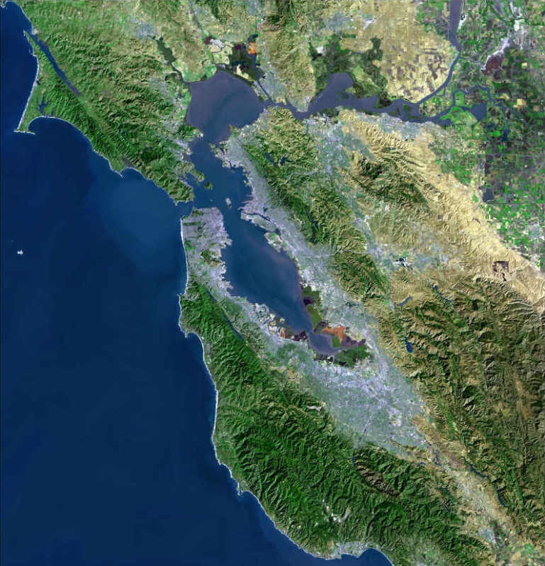
About a mile west of downtown, the Lafayette Reservoir provides a peaceful natural retreat right in your backyard. Managed as a regional water reserve, the park is open year-round for jogging, fishing, picnicking, and paddle boating. The paved loop along the water is a daily favorite for dog walkers and strollers, while the steeper rim trails reward hikers with sweeping views of the golden hills. Having such a scenic recreation spot only minutes from the town center captures what attracts so many people to Lafayette: a quiet, outdoor-friendly lifestyle with effortless access to the rest of the Bay Area.
Top Rating Signals
Highest current ratings for this town.
Loading town details...