
Marlborough, MA
- Elevation
- 388 ft
- General Quality Overall rating out of 100
Highlights
What stands out in Marlborough
Explore
More places like Marlborough
About Marlborough
Marlborough sits in a prime spot along the I-495 corridor, right between Boston and Worcester. Commuters and local professionals love the convenience, with fast access to I-290, Route 20, and the Mass Pike. Over the years, former farmland along the highway turned into bustling corporate campuses and tech parks. Today, the city is a major employment hub in the MetroWest region, drawing companies in biotechnology, medical devices, software, and healthcare. Even as remote and hybrid work shift how companies use their office space, the business district remains a major economic engine for the area.

Long before tech firms arrived, Marlborough made its name as a powerhouse of early American manufacturing. During the Civil War era, local factories churned out boots for Union soldiers, turning the town into one of the country's biggest shoe-producing hubs. Trains and streetcars once carried materials and factory workers straight into the center of town. While the shoe mills gradually shut down through the mid-twentieth century, the community held onto its hardworking character. That blue-collar heritage still blends seamlessly with the modern commercial growth you see around town today.

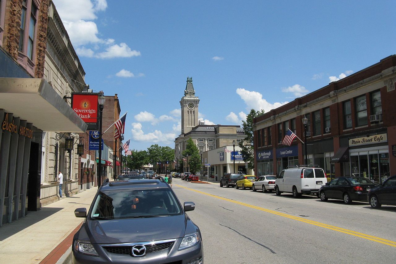
Downtown Main Street has a completely different, close-knit neighborhood vibe. At the heart of it is the beautifully restored public library, where historic turn-of-the-century architecture meets a bright, modern expansion filled with community meeting spaces. Strolling down Main Street, you will find independent eateries, local pubs, and cultural events scattered across the Downtown Village Cultural District. Community traditions run deep here, highlighted by popular seasonal gatherings like the annual Food Truck and Arts Festival and the massive Labor Day Parade, which brings neighbors together with marching bands and colorful floats.

For outdoor recreation, locals gravitate toward the Assabet River Rail Trail. This scenic paved greenway follows the old railroad tracks, starting downtown and stretching northward into neighboring Hudson. On any given weekend, you will see families walking dogs, runners logging miles, and cyclists cruising along the tree-lined path. Wooded spur trails branch off into quiet conservation parcels, while nearby spots like Lake Williams offer peaceful water views and boardwalk strolls. It is one of the easiest ways for residents to get outside and enjoy fresh air right in their own backyard.
Top Rating Signals
Highest current ratings for this town.
Loading town details...