
Martinez, CA

- Elevation
- 15 ft
- General Quality Overall rating out of 100
Highlights
What stands out in Martinez
Explore
More places like Martinez
About Martinez
Tucked along the Carquinez Strait where the East Bay hills meet the water, Martinez is a relaxed, character-rich city with deep working-class roots. As the seat of Contra Costa County, downtown bustles during the day with courthouse staff, county workers, and visitors grabbing lunch at neighborhood diners. While refineries operate along the eastern industrial edge, the heart of town stays compact and walkable. Commuting is surprisingly straightforward, thanks to a downtown Amtrak station offering Capitol Corridor service across Northern California, along with County Connection buses that link riders directly to nearby BART stations in Concord and Pleasant Hill.
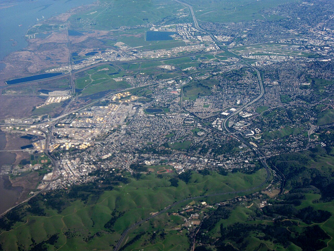
The city has a tangible sense of history that gives it an authentic, small-town atmosphere. Established during the Gold Rush as a busy ferry crossing to Benicia, Martinez has managed to preserve its vintage architectural character over the decades. Downtown Main Street features colorful 19th-century storefronts filled with antique shops, family-run cafes, independent bookstores, and local craft taprooms. Local lore also famously crowns the town as the birthplace of the martini cocktail, a point of local pride celebrated alongside regular community block parties and casual gatherings.

Green space and outdoor recreation sit right in your backyard. Famed naturalist John Muir spent much of his later life here, managing a fruit ranch in the peaceful Alhambra Valley while writing influential essays on wilderness conservation. Today, his historic Victorian estate is open for tours, surrounded by heritage fruit orchards. Directly across the road, Mount Wanda offers miles of dog-friendly hiking trails leading up through oak woodlands to panoramic views of the water and Mount Diablo. The surrounding Alhambra Valley feels like an unexpected rural sanctuary, complete with small ranches and vineyards just minutes from the city center.
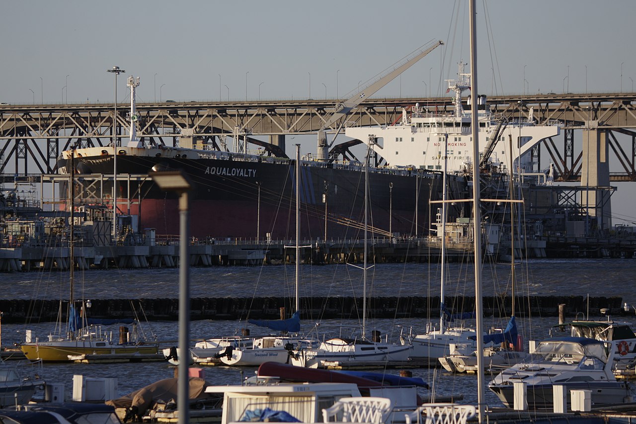
Waterfront recreation centers around the Radke Martinez Regional Shoreline, where walking and biking trails wind through tidal marshes and open parkland. The city also takes its recreation seriously, especially bocce ball, supporting one of the largest outdoor bocce leagues in the country right next to the municipal marina. Community life flourishes with a weekly Sunday farmers market on Main Street, outdoor concerts, and seasonal street festivals that bring neighbors together throughout the year. For new residents, Martinez offers a grounded, welcoming East Bay lifestyle with plenty of space to breathe.
Top Rating Signals
Highest current ratings for this town.
Loading town details...