
Medford, OR
- Elevation
- 1,383 ft
- General Quality Overall rating out of 100
Highlights
What stands out in Medford
Explore
More places like Medford
About Medford
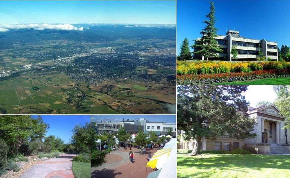
Medford got its start in the 1880s when the railroad laid tracks across the flat floor of the Rogue Valley, skipping the hills around neighboring Jacksonville. What started around a single train depot quickly grew into the valley's commercial hub. Local orchards sent boxcars of apples and sweet pears across the country, kickstarting an agricultural boom that put Medford on the map. Today, those orchard roots still give the city its grounded feel, even as it has grown into Jackson County's main population center.

Over the decades, Medford shifted from timber and fruit packing to become the regional anchor for healthcare, retail, and everyday services. Having Asante Rogue Regional Medical Center and Providence Medford in town means residents have access to high-level medical care, including a regional trauma center and specialized clinics, without having to travel to Portland. Set right along Interstate 5 and home to the Rogue Valley International-Medford Airport, the city offers the shopping, dining, and travel connections you need while keeping a relaxed pace.

Downtown Medford holds onto its historic character with brick storefronts, local taprooms, and coffee shops laid out along Main Street and Central Avenue. Right alongside downtown, you will find the Bear Creek Greenway, a paved 20-mile trail that connects Medford to neighboring towns like Ashland, Talent, Phoenix, and Central Point. It is a fantastic resource for running, dog walking, and weekend cycling. Closer to the core, spots like Pear Blossom Park host farmers markets and outdoor concerts, giving locals an easy gathering spot on warm evenings.

Local traditions keep the city connected to its heritage, especially during the annual Pear Blossom Festival every spring. The event has been going strong since 1954, bringing crowds downtown for a parade, street fair, artisan booths, and a community run. For quick outdoor getaways, Prescott Park on the east side of town covers over 1,700 acres surrounding Roxy Ann Peak. Its trails wind through oak and pine up to panoramic summit viewpoints, offering an unbeatable look out over the entire Rogue Valley.
Top Rating Signals
Highest current ratings for this town.
Loading town details...