
Mesa, AZ
- Elevation
- 1,242 ft
- General Quality Overall rating out of 100
Highlights
What stands out in Mesa
Explore
More places like Mesa
About Mesa
Getting your bearings in Mesa is simple once you understand the grid. Center Street splits the city east and west, while Main Street separates numbered streets to the north from avenues to the south. Keep in mind that Mesa is massive, stretching across nearly 140 square miles of the East Valley. Living in West Mesa feels completely different from settling near Falcon Field or out toward the Gateway area. Because the city is so spread out, driving from one side of town to the other can easily take half an hour or more, so picking a neighborhood close to your daily commute makes a big difference.

People have lived and farmed in this part of the desert for centuries. The Hohokam, known to modern O'odham people as the Huhugam, engineered extensive irrigation canals across the Salt River Valley. When 19th-century settlers arrived, they rebuilt along those ancient routes, many of which still weave through Mesa neighborhoods today as popular paved paths for morning runs and bike rides. With the Salt River Pima-Maricopa Indian Community bordering the city to the north and landmarks like the Mesa Grande ruins preserved in town, the region's Indigenous heritage remains an active part of daily surroundings.

Much of Mesa's modern growth revolves around two former aviation fields that grew into major employment hubs. Up in the northeast, Falcon Field supports a large cluster of aerospace, manufacturing, and tech companies. Down in the southeast, Phoenix-Mesa Gateway Airport offers convenient commercial flights alongside Arizona State University's Polytechnic campus, which serves thousands of students in engineering, aviation, and applied sciences. These two areas bring significant economic energy to the outer rings of the city, spurring new housing developments and shopping centers well outside the central core.

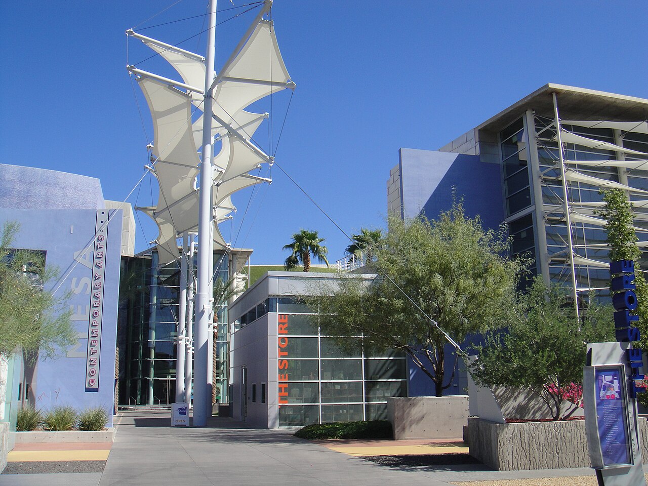
Downtown Mesa has built a lively identity along Main Street, anchored by the impressive Mesa Arts Center and ASU's Media and Immersive eXperience Center. The area features welcoming plazas with splash pads, outdoor events, and seasonal ice skating, alongside a growing mix of local restaurants and breweries. The Valley Metro light rail runs right down the middle of downtown, giving residents an easy car-free connection into Tempe and central Phoenix. Just a short trip west along Dobson Road, Mesa's Asian District offers incredible dining and shopping at destinations like Mekong Plaza, giving locals fantastic food options and weekend spots close to home.
Top Rating Signals
Highest current ratings for this town.
Loading town details...