
Mesa del Caballo, AZ
- Elevation
- 5,169 ft
- General Quality Overall rating out of 100
Highlights
What stands out in Mesa del Caballo
Explore
More places like Mesa del Caballo
About Mesa del Caballo
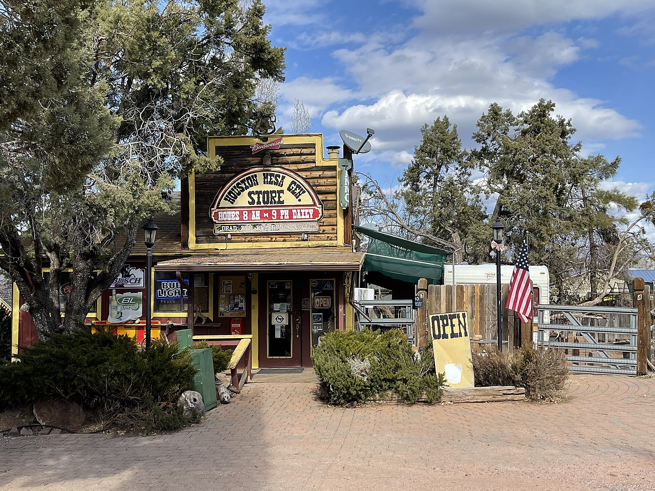
Tucked into the pines just northeast of Payson along Houston Mesa Road, Mesa del Caballo is a quiet residential neighborhood surrounded by the Tonto National Forest. It offers a peaceful, wooded setting with cooler mountain air and easy access to outdoor recreation, making it popular for both year-round residents and weekend cabin owners. Even with its secluded feel, you are still only a five-minute drive from grocery stores, restaurants, and healthcare in central Payson.
Top Rating Signals
Highest current ratings for this town.
Loading town details...