
Mescal, AZ
- Elevation
- 4,078 ft
- General Quality Overall rating out of 100
Highlights
What stands out in Mescal
Explore
More places like Mescal
About Mescal
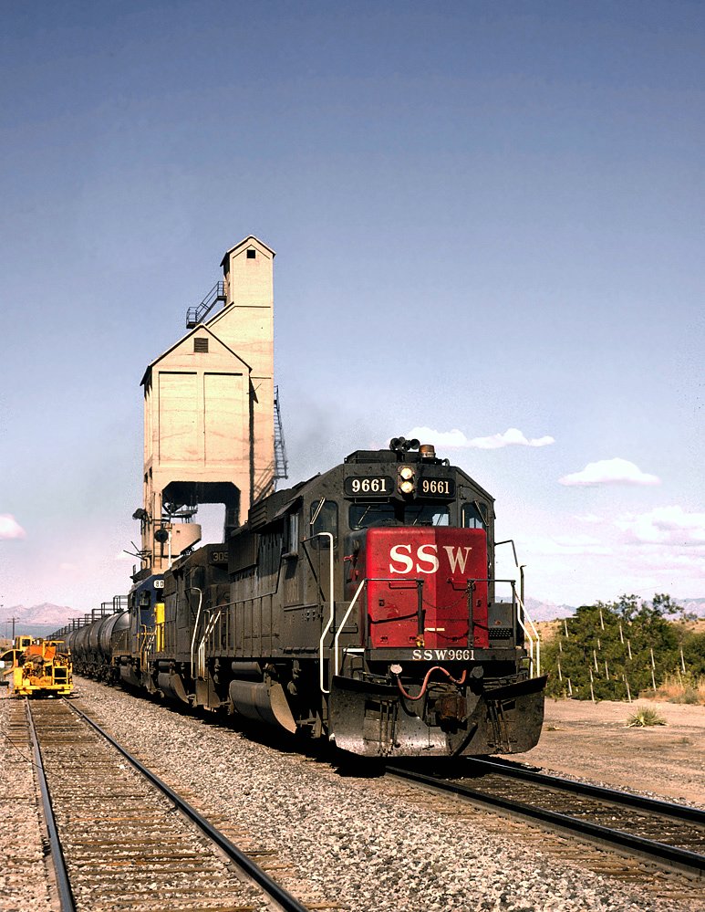
Mescal sits right along Interstate 10 in Cochise County, roughly halfway between Tucson and Benson. Originally established as a railroad stop, the area has evolved into a quiet rural community filled with spread-out homesteads, horse properties, and custom homes. Residents enjoy unobstructed views of the Dragoon and Whetstone mountains, starry night skies, and plenty of space between neighbors. The location works well for commuters who work in the Tucson metro area but prefer coming home to the peace and quiet of open desert.
The area is also famous for the Mescal Movie Set, a historic Western film location where classics like Tombstone were produced and where visitors can still take walking tours. Day-to-day life here is relaxed and low-key, with very little commercial traffic. For groceries, medical care, and dining, residents typically make the quick ten-minute drive east into Benson, or head west into Vail and Tucson for major shopping trips.
Top Rating Signals
Highest current ratings for this town.
Loading town details...