
Moro, OR
- Elevation
- 1,816 ft
- General Quality Overall rating out of 100
Highlights
What stands out in Moro
Explore
More places like Moro
About Moro
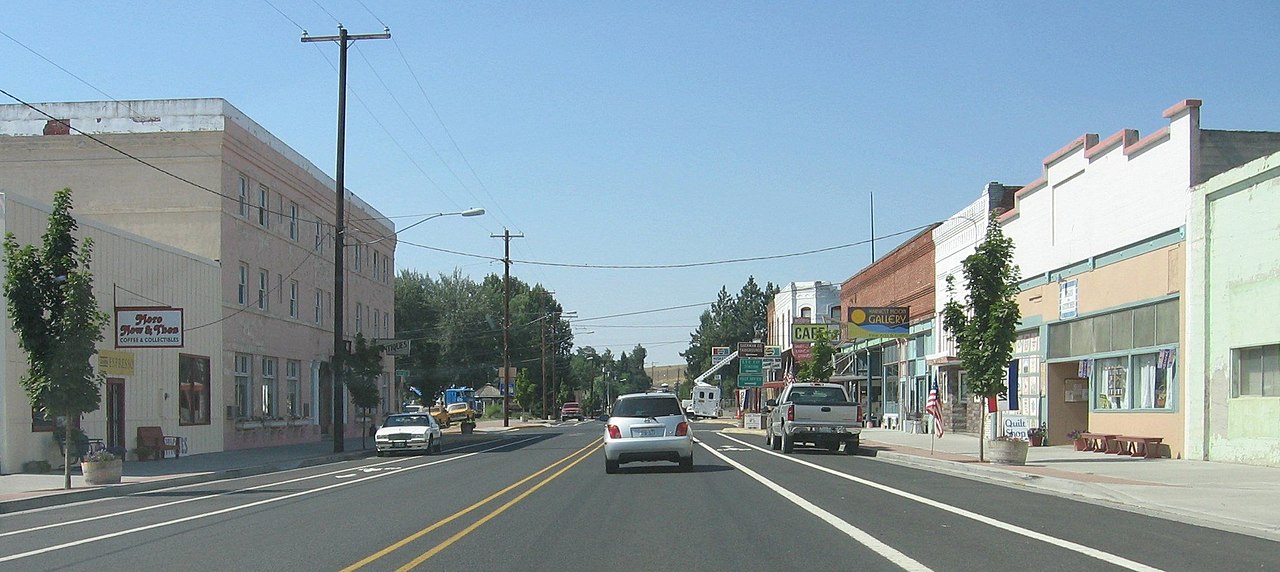
Set high on the rolling plateaus of north-central Oregon, Moro is a quiet farming community of fewer than 400 people. Surrounded by endless golden wheat fields and sweeping big-sky views, the town offers a peaceful, unhurried rhythm where neighbors genuinely know each other. It originally grew as a central trade and shipping point for local grain growers, and that hardworking, close-knit spirit still defines the area today.

As the Sherman County seat, Moro is home to local government offices, the historic 1899 brick courthouse, and an exceptional county history museum. Life here is simple and community-focused, with locals gathering for school sports and the annual county fair. Outdoor enthusiasts will also appreciate the easy access to hiking, rafting, and fishing along the nearby Deschutes and John Day rivers, making Moro a great fit for anyone craving wide-open spaces and small-town tranquility.
Top Rating Signals
Highest current ratings for this town.
Loading town details...