
Napeague, NY
- Elevation
- 6 ft
- General Quality Overall rating out of 100
Highlights
What stands out in Napeague
Explore
More places like Napeague
About Napeague
Napeague is the quiet, scenic stretch of land connecting Amagansett to Montauk, tucked between the open Atlantic Ocean and the calm waters of Gardiners Bay. Because it sits on a narrow isthmus surrounded by dunes, pine forests, and wetlands, you are never more than a couple of minutes from the water. Life here feels relaxed and removed from the busier Hamptons villages, shaped by salty breezes, uncrowded shorelines, and open coastal skies.
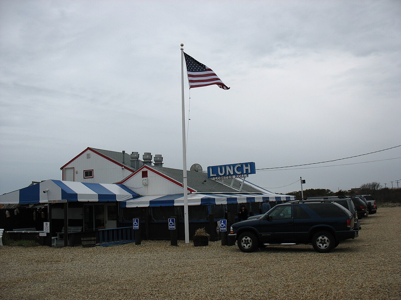
Outdoor living is the main draw for anyone settling in the area. Napeague Harbor is a favorite spot for paddleboarding, kiteboarding, and clamming, while nearby Hither Hills State Park offers oceanfront trails, surf fishing, and hiking through the Walking Dunes. Classic roadside seafood shacks give the summer months plenty of energy, while the rest of the year brings a peaceful, low-key rhythm with quick drives to both Montauk and East Hampton.
Top Rating Signals
Highest current ratings for this town.
Loading town details...