
New Holland, OH
- Elevation
- 855 ft
- General Quality Overall rating out of 100
Highlights
What stands out in New Holland
Explore
More places like New Holland
About New Holland
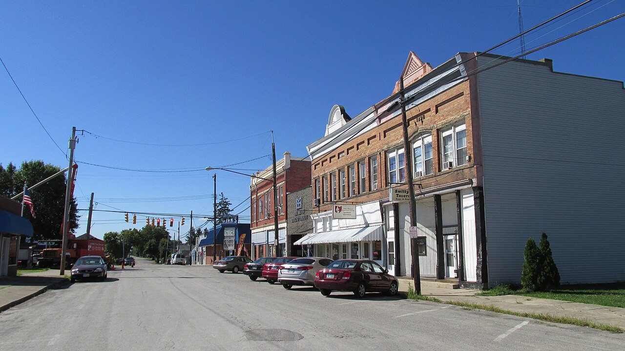
New Holland got its start back in 1818 as a stagecoach crossroads called Four Corners, and it still keeps that quiet, small-town atmosphere today. The village sits right on the border of Pickaway and Fayette counties, surrounded by miles of open farmland. It is a close-knit community where neighbors know each other and daily life still centers around the old crossroads of Main and Front Streets.

While the village itself is mostly residential, you are never far from what you need. Residents make the short drive into Washington Court House, Circleville, or Chillicothe for groceries, dining, and work, and Columbus is within reach for commuters. Local kids attend the Miami Trace school district, making New Holland a solid choice for anyone looking for extra breathing room, affordable housing, and a slower pace.
Top Rating Signals
Highest current ratings for this town.
Loading town details...