
Noatak, AK

- Elevation
- 61 ft
- General Quality Overall rating out of 100
Highlights
What stands out in Noatak
Explore
More places like Noatak
About Noatak
Set along the western bank of the Noatak River about 55 miles north of Kotzebue, Noatak is a traditional Iñupiat village located well above the Arctic Circle. With no connecting road system, getting in and out requires booking a flight on a small bush plane, though locals regularly travel by riverboat during the summer and snowmachine across the frozen tundra in winter. The surrounding backcountry is wide and largely protected by the Noatak National Preserve, giving the village a quiet, remote atmosphere. For anyone thinking about relocating here, life is closely tied to the water, which serves as both a seasonal travel route and the backbone of the community.
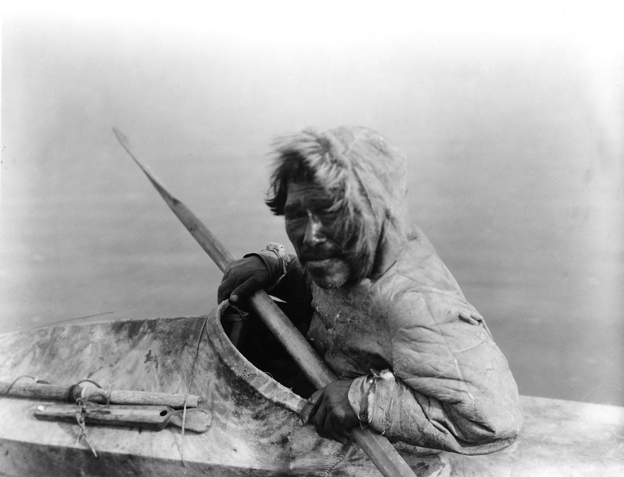
Day-to-day living blends modern routines with a deep-rooted subsistence lifestyle. Families stay busy year-round hunting caribou, catching fish, and gathering berries, while also working at the local K-12 school, village clinic, or tribal office. Because all food, fuel, and cargo must be flown in, living costs are high and planning ahead is a regular part of life. The village also contends with steady riverbank erosion, which affects local roads and future plans for the runway. Moving here requires real adaptability to Arctic weather and logistics, but residents share a strong sense of community and a genuine reliance on one another.
Top Rating Signals
Highest current ratings for this town.
Loading town details...