
North Las Vegas, NV
- Elevation
- 1,858 ft
- General Quality Overall rating out of 100
Highlights
What stands out in North Las Vegas
Explore
More places like North Las Vegas
About North Las Vegas
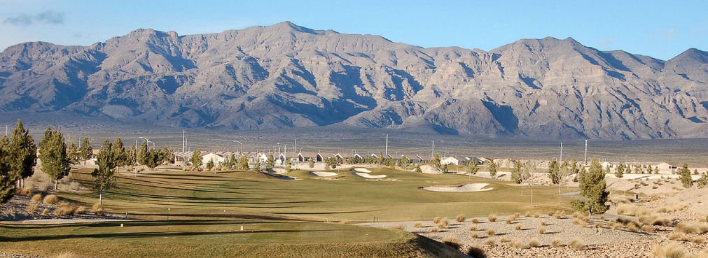
North Las Vegas covers a lot of ground, transitioning from historic downtown streets in the south to newer master-planned suburbs up north. Closer to the original city center, you will find long-standing neighborhoods and local shops with an established, lived-in feel. Head further north toward Aliante and Craig Ranch, and the scenery shifts to modern subdivisions, tree-lined sidewalks, and mountain views. Craig Ranch Regional Park serves as a favorite local hangout, turning a former golf course into 170 acres of sports fields, dog parks, walking trails, and an outdoor amphitheater.

The city offers a solid network of everyday amenities, especially for families and newcomers settling into the area. Modern library branches scattered across town host regular community events, study spaces, and children's programs. In the historic core, neighborhood facilities like the Dolores Huerta Resource Center provide bilingual community support, offering career training, health screenings, and educational workshops under one roof. It is a fast-growing city that has held onto a friendly, practical atmosphere as it continues to expand.

One of the best perks of living in the northern part of town is having untouched desert open space right outside your door. Up near Aliante, quiet residential streets border the Tule Springs Fossil Beds National Monument, where you can hike past preserved Ice Age history and take in wide-open skyline views. Having direct access to protected desert trails gives these newer subdivisions a peaceful, spacious vibe while still keeping you close to shopping centers and everyday conveniences.

When it comes to work, North Las Vegas has a strong job base independent of the casino resorts on the Las Vegas Strip. The city serves as a major regional center for logistics, light manufacturing, and tech distribution, with expansive commercial centers growing along the Interstate 15 corridor. Nellis Air Force Base brings a substantial military and aerospace presence to the area, while the regional VA Medical Center provides extensive healthcare services and medical jobs. With relatively accessible housing, local career opportunities, and quick freeway access across the valley, it offers a practical home base for southern Nevada living.
Top Rating Signals
Highest current ratings for this town.
Loading town details...