
Ohiopyle, PA
- Elevation
- 1,217 ft
- General Quality Overall rating out of 100
Highlights
What stands out in Ohiopyle
Explore
More places like Ohiopyle
About Ohiopyle
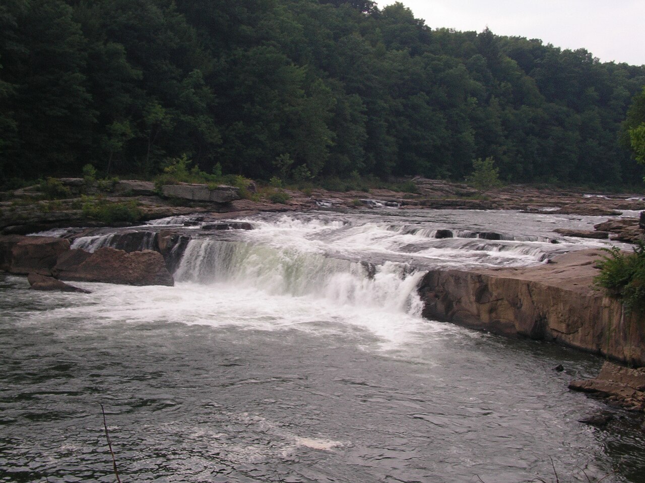
Ohiopyle is a tiny mountain community in southwestern Pennsylvania's Laurel Highlands, completely surrounded by the state park that shares its name. Daily life here revolves around the Youghiogheny River, known for its dramatic waterfalls and popular whitewater rafting runs. What began as a nineteenth-century logging and railroad stop is today an outdoor hub, bordered by deep river gorges and wooded hills.

With the Great Allegheny Passage trail cutting straight through town, you will often find cyclists and paddlers hanging out around the local cafes and gear shops. The borough draws plenty of visitors on warm summer weekends, but things settle into a quiet, tight-knit rhythm throughout the rest of the year. Moving to the Ohiopyle area means trading standard suburban sprawl for doorstep access to trails, rivers, and a slower pace of life.
Top Rating Signals
Highest current ratings for this town.
Loading town details...