
Ortonville, MN
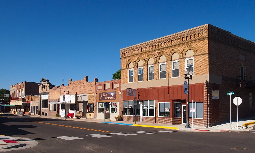
- Elevation
- 1,016 ft
- General Quality Overall rating out of 100
Highlights
What stands out in Ortonville
Explore
More places like Ortonville
About Ortonville
Perched along the hillsides overlooking the southern tip of Big Stone Lake, Ortonville offers scenic small-town living right on the Minnesota and South Dakota border. As the seat of Big Stone County, the town has a grounded, historic feel anchored by its downtown courthouse and sweeping views of the water where the Minnesota River begins. It is a quiet, friendly community where the pace of life naturally follows the rhythm of the lake.

Daily life here revolves around the outdoors, from fishing trips and rounds at the municipal golf course to walks along Lakeside Park and the paved trail system. Families appreciate the convenience of having all K-12 grades housed on a single school campus, while a local hospital, clinic, and public library cover the essentials in town. With Big Stone Lake State Park and the nearby wildlife refuge just down the road, you get miles of boating, hiking, and open prairie right in your backyard.
Top Rating Signals
Highest current ratings for this town.
Loading town details...