
Parkland, FL
- Elevation
- 12 ft
- General Quality Overall rating out of 100
Highlights
What stands out in Parkland
Explore
More places like Parkland
About Parkland
Sitting along the western edge of Broward County right against the Everglades, Parkland lives up to its name with quiet, tree-lined streets and plenty of open green space. The city was intentionally planned around spacious residential neighborhoods rather than dense commercial corridors, featuring single-family homes, upscale gated communities, and multi-acre properties. Because there is no central downtown, daily errands and dining usually take residents into neighboring towns like Coral Springs or Boca Raton, keeping Parkland remarkably calm, quiet, and private.

That peaceful atmosphere reflects the town's rural origins. Founded in the 1960s as BBB Ranches, Parkland was incorporated to protect the area's open land from overdevelopment. For decades, it remained a small, quiet outpost where horses shared the unpaved roads with cars. Paved roads did not arrive until the 1980s, and the city only installed its first traffic light in the 1990s. Even as modern neighborhoods were built, strict local planning ensured that tree canopies, waterways, and large lot sizes remained the priority.

Day-to-day community life revolves around the city's expansive park system. Pine Trails Park serves as the primary gathering spot for local families, featuring athletic fields, playgrounds, an indoor recreation center, and an amphitheater for weekend concerts and movie nights. Over at the Parkland Equestrian Center, riding rings and horse trails celebrate the area's equestrian heritage. The grounds also host the city's popular farmers market from fall through spring, drawing crowds for fresh produce, artisan breads, and food trucks.
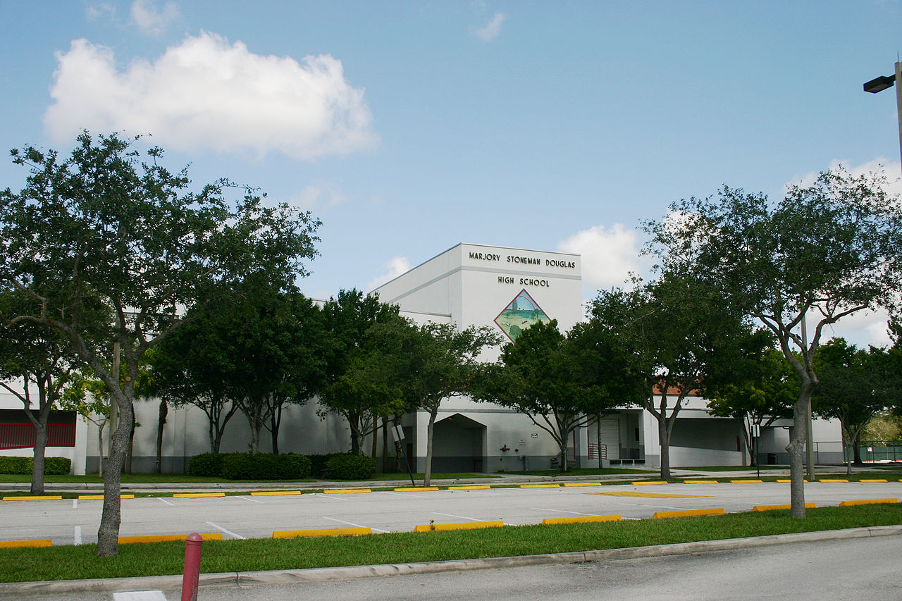
Parkland is also deeply defined by its resilience following the February 14, 2018 shooting at Marjory Stoneman Douglas High School, which took the lives of 17 students and staff members. The tragedy united the town and fostered a lasting commitment to community support and healing, including local wellness resources like Eagles' Haven. To honor the victims, work is underway on a permanent memorial set within a peaceful 150-acre nature preserve bordering Parkland and Coral Springs, creating a dedicated space for reflection and remembrance.
Top Rating Signals
Highest current ratings for this town.
Loading town details...