
Scottsdale, AZ

- Elevation
- 1,259 ft
- General Quality Overall rating out of 100
Highlights
What stands out in Scottsdale
Explore
More places like Scottsdale
About Scottsdale
Because Scottsdale stretches more than thirty miles from north to south, choosing the right neighborhood completely shapes your day-to-day routine. In the south, Old Town offers a lively, walkable environment packed with dining, shopping, and nightlife. Further north, the city opens into spacious master-planned communities and quiet desert subdivisions bordered by the McDowell Sonoran Preserve, where miles of scenic trails are free to explore every day. In between, you will find golf resorts, family-friendly suburbs, and the bustling business district around the airport. Depending on where you settle, life here can feel like a vibrant downtown scene or a peaceful desert escape.

Scottsdale started as a small farming settlement founded in 1888 by Winfield Scott and grew rapidly through the postwar boom. Along the southern and eastern borders lies the Salt River Pima-Maricopa Indian Community, home to the O'odham and Piipaash people. The neighboring tribal land preserves vast open desert views and hosts popular attractions like the Talking Stick entertainment district. It is also home to Scottsdale Community College, which holds the unique distinction of being a public college operating on tribal grounds. These close ties give the area a grounded sense of history and open space right alongside modern suburban growth.
Tourism and resort hospitality put Scottsdale on the map, but the local economy has grown into a diverse regional hub. The Scottsdale Airpark is one of Arizona's largest job centers, housing thousands of companies across healthcare, finance, tech, and corporate aviation. Most residents rely on cars to get around, with the Loop 101 freeway serving as the main spine connecting the north and south ends of town. The city also operates a handy, fare-free trolley system for short trips around downtown and nearby retail corridors, making it easy to run errands without hunting for parking.

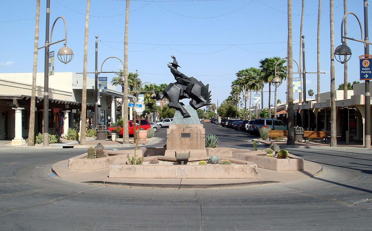
Old Town serves as the primary hub for entertainment, arts, and weekend outings. Its pedestrian-friendly streets are lined with historic storefronts, independent boutiques, Southwestern art galleries, and top-tier restaurants. Just steps away, the Scottsdale Civic Center connects City Hall, the public library, and outdoor performance spaces that host concerts and food festivals. Throughout the year, major events draw big crowds, from the Canal Convergence light installation along the waterfront to the Barrett-Jackson car auction and the WM Phoenix Open up north. There is always something happening, yet the desert and mountains are never more than a short drive away.
Top Rating Signals
Highest current ratings for this town.
Loading town details...