
Sherwood, OR
- Elevation
- 201 ft
- General Quality Overall rating out of 100
Highlights
What stands out in Sherwood
Explore
More places like Sherwood
About Sherwood
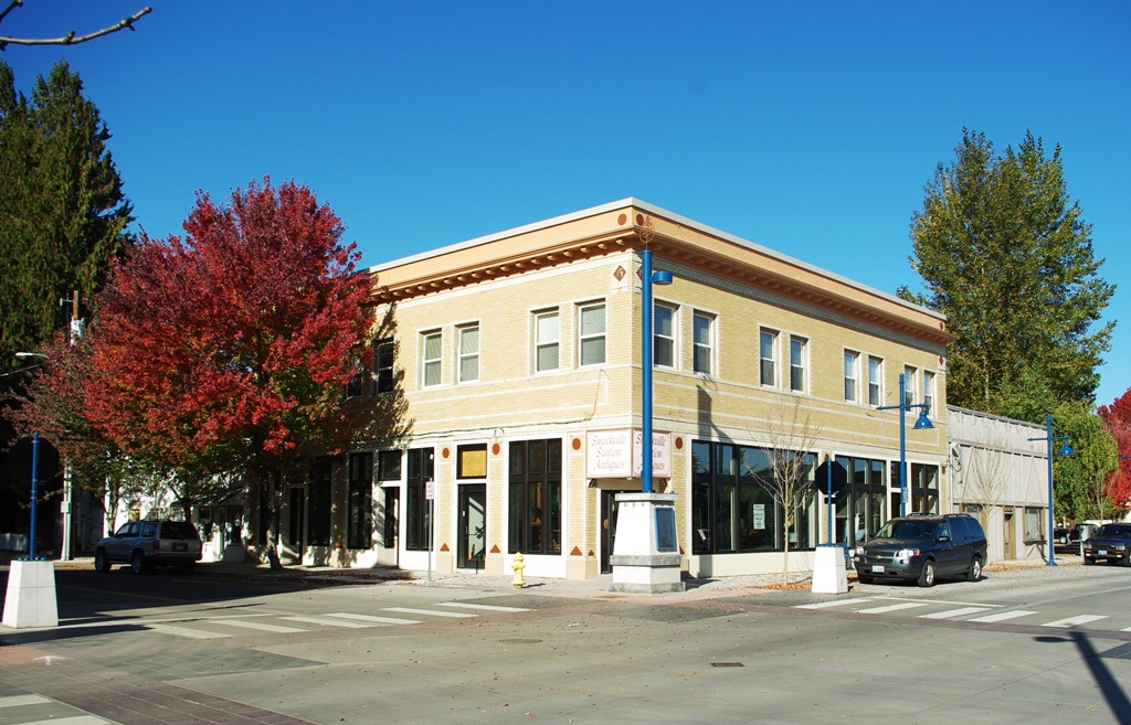
Sherwood blends small-town roots with a welcoming, tight-knit neighborhood feel. Long before modern subdivisions popped up, the town began in the late 1800s as a quiet rail depot originally known as Smockville. While it eventually took on the name Sherwood and outgrew its early days of brickyards and fruit canneries, the historic Old Town core still sets the tone for the community. Its compact, walkable grid of brick storefronts, local cafes, and leafy sidewalks gives residents an easy place to meet up for morning coffee or an evening dinner.

Located in the southwestern pocket of the Portland metro area, Sherwood offers a convenient home base right at the doorstep of Willamette Valley wine country. Most daily errands and retail centers line Highway 99W, making it simple to grab groceries or commute toward nearby job hubs in Tigard, Beaverton, and downtown Portland. The surrounding countryside is filled with rolling hills, local vineyards, and the nearby Tualatin River National Wildlife Refuge, giving the entire area a peaceful, open backdrop.

Community amenities are thoughtfully clustered around the city center, making it easy to stay active and connected. Cannery Square features an interactive splash pad where kids cool off on warm summer afternoons, surrounded by open plaza seating. Steps away, the Sherwood Center for the Arts hosts live theater, art workshops, and musical performances throughout the year. The modern public library is another popular spot for families, offering a packed calendar of storytimes, craft sessions, and a great community lending program.

Local traditions bring neighbors together across all seasons. Summer in Sherwood means free outdoor concerts with Music on the Green, movies in the park, and a bustling Saturday farmers market. The highlight of the summer calendar is the annual Robin Hood Festival in July, a tradition dating back to the 1950s that celebrates the town's namesake with a lively parade, medieval crafts, and international archery competitions. For anyone looking for a suburban lifestyle with strong community spirit, Sherwood offers a wonderful balance of comfort and connection.
Top Rating Signals
Highest current ratings for this town.
Loading town details...