
Sonoita, AZ

- Elevation
- 4,888 ft
- General Quality Overall rating out of 100
Highlights
What stands out in Sonoita
Explore
More places like Sonoita
About Sonoita
Tucked into the rolling golden grasslands about an hour southeast of Tucson, Sonoita offers a peaceful change of pace at nearly 5,000 feet above sea level. The elevation brings noticeably cooler weather than the surrounding desert valleys, with sweeping views framed by the Santa Rita and Patagonia mountains. With fewer than a thousand residents, it is a quiet, tight-knit rural community where wide-open spaces, horse pastures, and a proud ranching heritage shape everyday living.
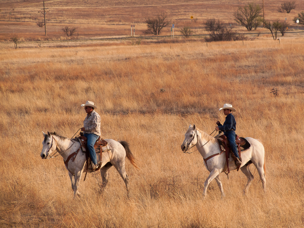
Today, Sonoita is best known alongside neighboring Elgin as the heart of southern Arizona wine country, dotted with boutique vineyards, tasting rooms, and working cattle ranches. The crossroads of State Routes 82 and 83 serves as the community hub, keeping Tucson close enough for major shopping trips and medical care while preserving a true small-town atmosphere. Between the annual county fair and rodeos, endless starry night skies, and miles of open range, it is an appealing landing spot for anyone looking to trade city congestion for room to breathe.
Top Rating Signals
Highest current ratings for this town.
Loading town details...