
South Toledo Bend, TX
- Elevation
- 183 ft
- General Quality Overall rating out of 100
Highlights
What stands out in South Toledo Bend
Explore
More places like South Toledo Bend
About South Toledo Bend
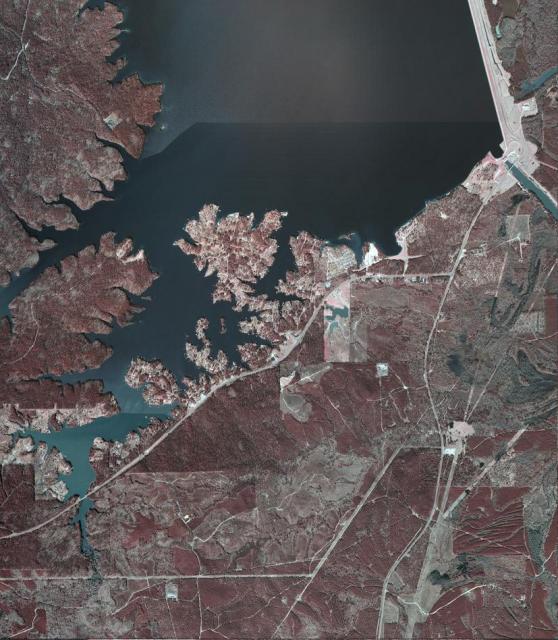
South Toledo Bend sits along the southern tip of Texas’s largest lake, surrounded by the quiet pine forests of Newton County. Ever since the dam went up on the Sabine River in the late 1960s, this part of East Texas has revolved around life on the water. Today, the community is made up of waterfront homes, cozy fishing cabins, and quiet country lanes along the Texas-Louisiana border. It is a slow-paced, scenic area where people come to unwind, enjoy the lake breezes, and get away from crowded subdivisions.
Living here means spending plenty of time outdoors, with exceptional bass fishing, boating, and hiking right down the road. You will need to take a short drive into nearby towns like Jasper or Newton for major grocery runs and errands, but the payoff is lots of privacy, starry night skies, and peaceful wooded properties. South Toledo Bend gives retirees, anglers, and anyone craving a simpler routine a relaxed place to settle down by the water.
Top Rating Signals
Highest current ratings for this town.
Loading town details...