
Tijeras, NM
- Elevation
- 6,335 ft
- General Quality Overall rating out of 100
Highlights
What stands out in Tijeras
Explore
More places like Tijeras
About Tijeras
Tijeras sits in a mountain canyon about 15 miles east of Albuquerque, tucked right between the Sandia and Manzano ranges. Positioned along Interstate 40 and historic Route 66, the area has long served as the main pass connecting the Rio Grande valley to the high country. For anyone considering a move, it offers a relaxed, rural atmosphere surrounded by pinon and juniper trees, while keeping city amenities and job centers within an easy 20-minute drive.

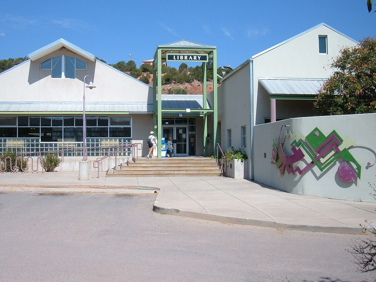
The village also serves as the gateway to the East Mountains and the start of the scenic Turquoise Trail heading north toward Madrid and Santa Fe. Local life centers around everyday conveniences like neighborhood shops, the East Mountain Library, and local restaurants, alongside historical landmarks like the century-old Santo Niño Church. It is an appealing option for buyers looking for cooler summer weather, mountain trail access, and a bit more breathing room just outside Albuquerque.
Top Rating Signals
Highest current ratings for this town.
Loading town details...