
Toomsuba, MS
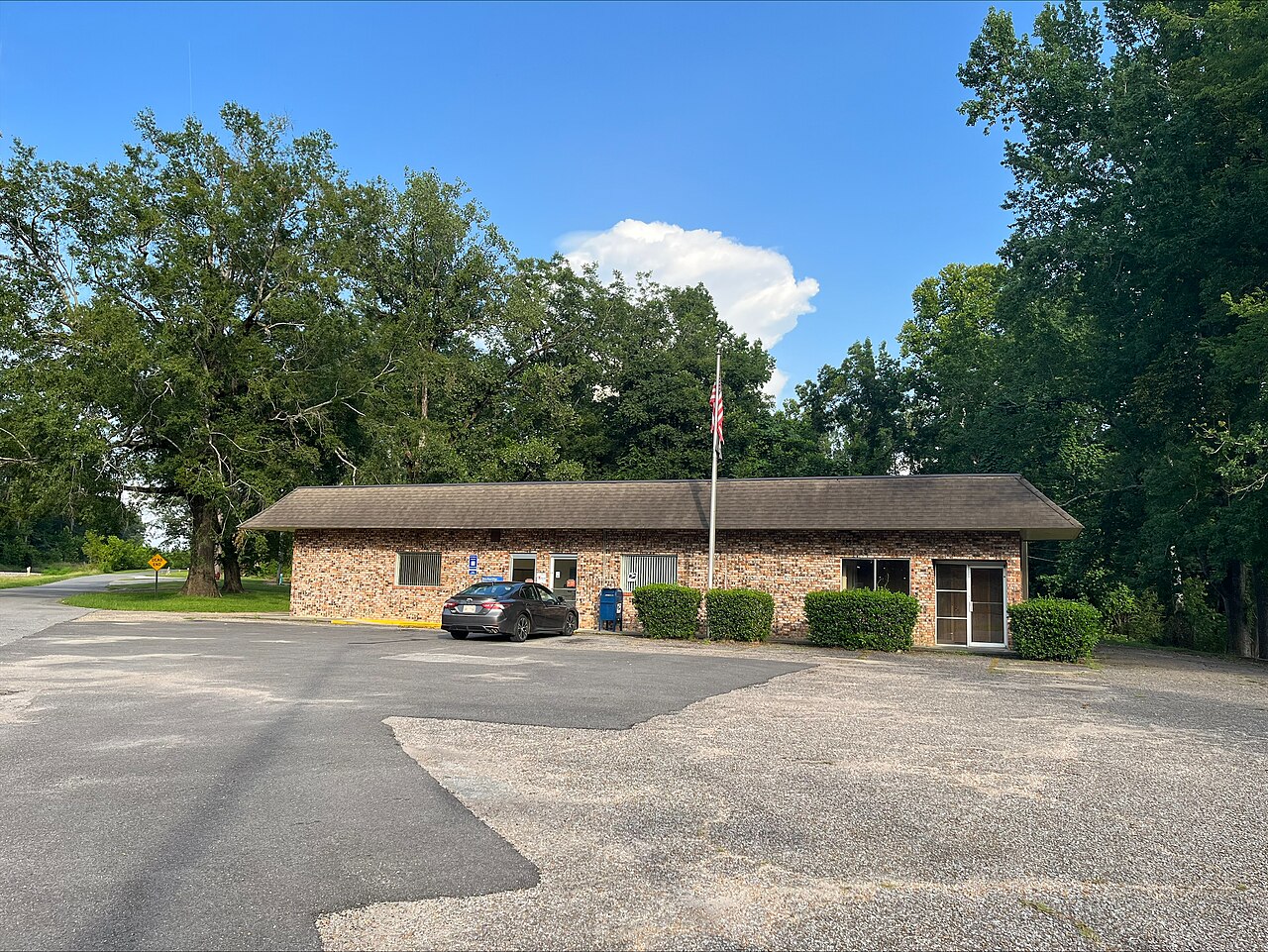
- Elevation
- 303 ft
- General Quality Overall rating out of 100
Highlights
What stands out in Toomsuba
Explore
More places like Toomsuba
About Toomsuba
Located about fifteen minutes east of Meridian, Toomsuba is a small, peaceful community in the pine country of eastern Mississippi. With fewer than a thousand residents, it offers quiet country living where life moves at an easy pace. U.S. Highways 80 and 11 serve as the main local corridor, while nearby access to Interstate 20 gives commuters a straight shot into Meridian for jobs, groceries, and healthcare.
Most homes sit on generous plots of land surrounded by woods, though you will also find waterfront properties around Bailey Lake where residents enjoy fishing and quiet weekends outdoors. Daily life is anchored by local churches and a tight-knit neighborhood network. For homebuyers looking for acreage, privacy, and quick highway connections close to the Alabama state line, Toomsuba is a welcoming spot to set down roots.
Top Rating Signals
Highest current ratings for this town.
Loading town details...