
Vass, NC
- Elevation
- 306 ft
- General Quality Overall rating out of 100
Highlights
What stands out in Vass
Explore
More places like Vass
About Vass
Vass is a quiet, friendly town in northern Moore County, offering a relaxed pace of life among the pines of the North Carolina Sandhills. With around a thousand residents, it holds onto its small-town roots while keeping you well connected to neighboring hubs. U.S. 1 runs right through the area for an easy drive into Southern Pines, Pinehurst, and Sanford, while NC 690 provides a direct commute southeast toward Spring Lake and Fort Liberty. It is an appealing spot for anyone looking for peaceful streets, larger yards, and room to breathe.

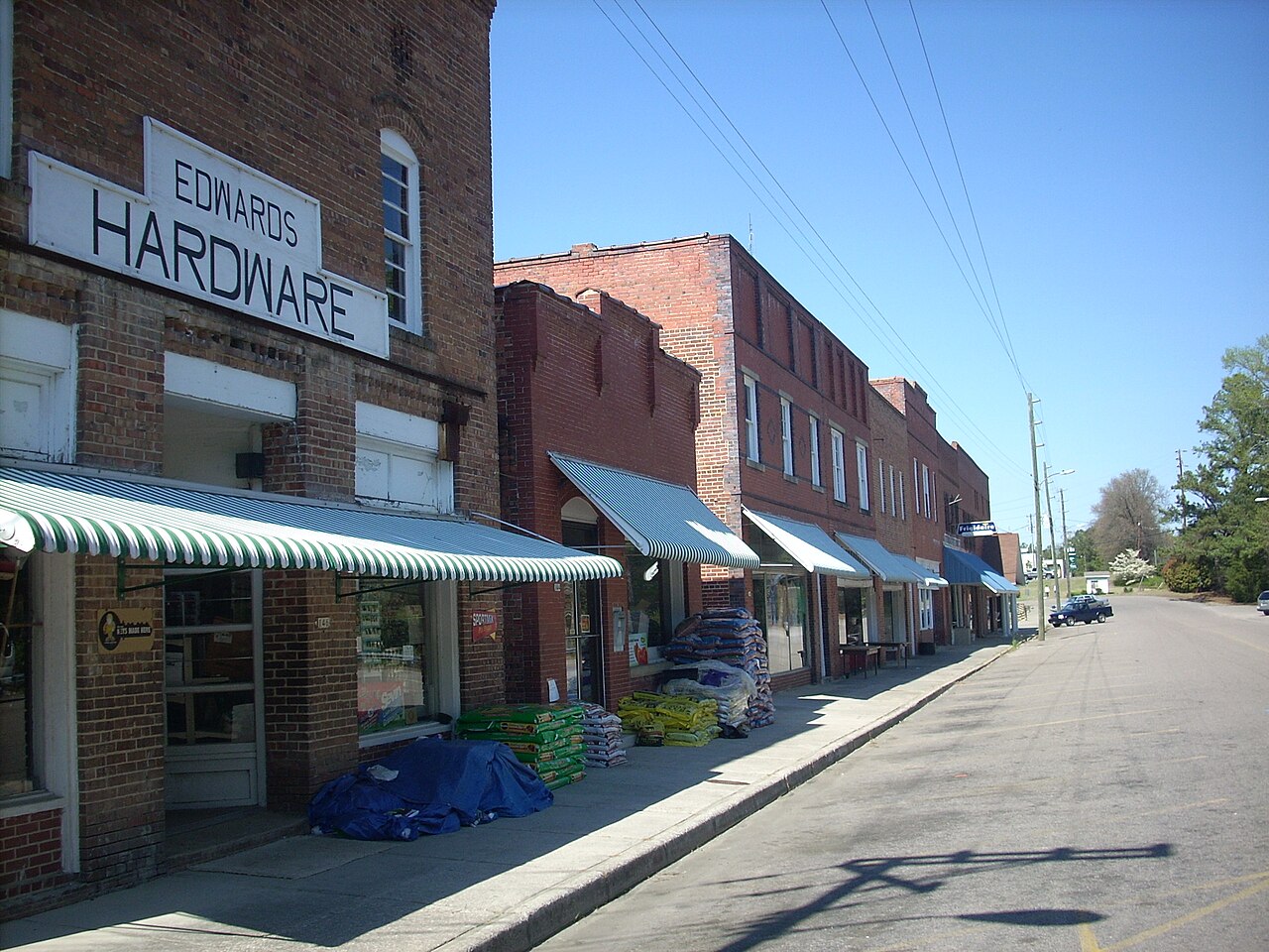
At the center of town, the historic brick storefronts along the old railroad line still house local spots to grab a bite, run errands, and catch up with neighbors. Having Vass-Lakeview Elementary right in the community makes daily routines simple for young families and adds to the tight-knit feel. Moving to Vass gives you the quiet comfort of a rural Carolina town, with the premier golf courses, shopping, and healthcare of the wider Moore County area just fifteen minutes down the road.
Top Rating Signals
Highest current ratings for this town.
Loading town details...