
Westcliffe, CO
- Elevation
- 7,872 ft
- General Quality Overall rating out of 100
Highlights
What stands out in Westcliffe
Explore
More places like Westcliffe
About Westcliffe
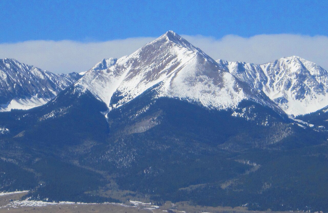
Tucked into the high Wet Mountain Valley between the towering Sangre de Cristo Range and the Wet Mountains, Westcliffe offers some of the most stunning mountain scenery in Colorado. Sitting at nearly 8,000 feet, this quiet community blends seamlessly with neighboring Silver Cliff across the valley floor. While it originally grew as an 1880s railroad hub, today it is a peaceful home for ranchers, outdoor enthusiasts, and retirees who appreciate crisp alpine air, legendary dark night skies, and a relaxed rhythm of life.

As the county seat, Westcliffe serves as the commercial and social heart of the surrounding valley. You will find the local school, clinics, grocery stores, and town offices clustered around Main Street, making everyday errands quick and personal. Highways 69 and 96 provide scenic drives out toward Cañon City, Salida, and Pueblo whenever you need bigger-city amenities. Life here centers on quiet routines, neighborly connections, and having endless trails and sweeping peaks right in your backyard.
Top Rating Signals
Highest current ratings for this town.
Loading town details...