
Yuma, AZ
- Elevation
- 141 ft
- General Quality Overall rating out of 100
Highlights
What stands out in Yuma
Explore
More places like Yuma
About Yuma
Tucked into Arizona's southwest corner along the Colorado River, Yuma has always been defined by its prime location near the California and Mexico borders. Long before Spanish explorers and Gold Rush pioneers came through, the area was home to the Quechan and Cocopah tribes, who farmed and fished along these fertile riverbanks. In the 1800s, tens of thousands of travelers crossed the river here on their journey west, turning Yuma into a bustling frontier outpost and military depot. That historic river crossing laid the groundwork for the welcoming, sun-soaked city you find today.

If you move here, you will quickly notice two major pillars of the local economy: agriculture and the military. Yuma is known as the winter lettuce capital of the world, producing a huge share of the nation's salad greens, vegetables, and melons during the cooler months. You will see vibrant green fields stretching out against the rugged desert backdrop. Alongside farming, Marine Corps Air Station Yuma and the nearby Yuma Proving Ground bring a strong military presence and a steady stream of newcomers, giving the community a patriotic, family-oriented vibe.

Neighborhoods here offer a comfortable mix of historic character and newer suburban convenience. The downtown area and North End put you close to historic sites, local eateries, and the water. If you prefer newer construction, popular subdivisions extend east across the mesa, featuring convenient shopping centers, walking trails, and modern community parks with playgrounds and sports courts. Down by the water, the Yuma Crossing National Heritage Area offers hundreds of acres of restored riverfront paths and wetlands, making it a favorite weekend spot for jogging, biking, birdwatching, or launching a kayak.

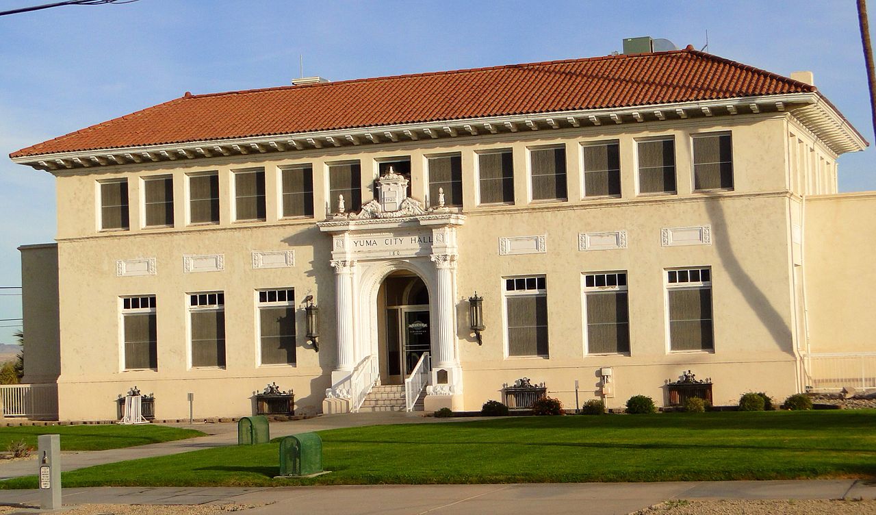
Historic Main Street serves as the cultural heart of town, centered around the Yuma Art Center and the vintage 1912 Historic Yuma Theatre. Throughout the year, you can catch indie films, browse artisan markets, take ceramics classes, or join local gatherings like Art in the Park and YumaCon. The city also holds onto some delightful hometown history. Inside City Hall, you can look up to see the vintage airplane that stayed airborne for 47 consecutive days in 1949, refueled on the fly by a speeding convertible below. It is that kind of warmth and local pride that makes settling into Yuma so easy.
Top Rating Signals
Highest current ratings for this town.
Loading town details...