
Arlington, OR
- Elevation
- 286 ft
- General Quality Overall rating out of 100
Highlights
What stands out in Arlington
Explore
More places like Arlington
About Arlington
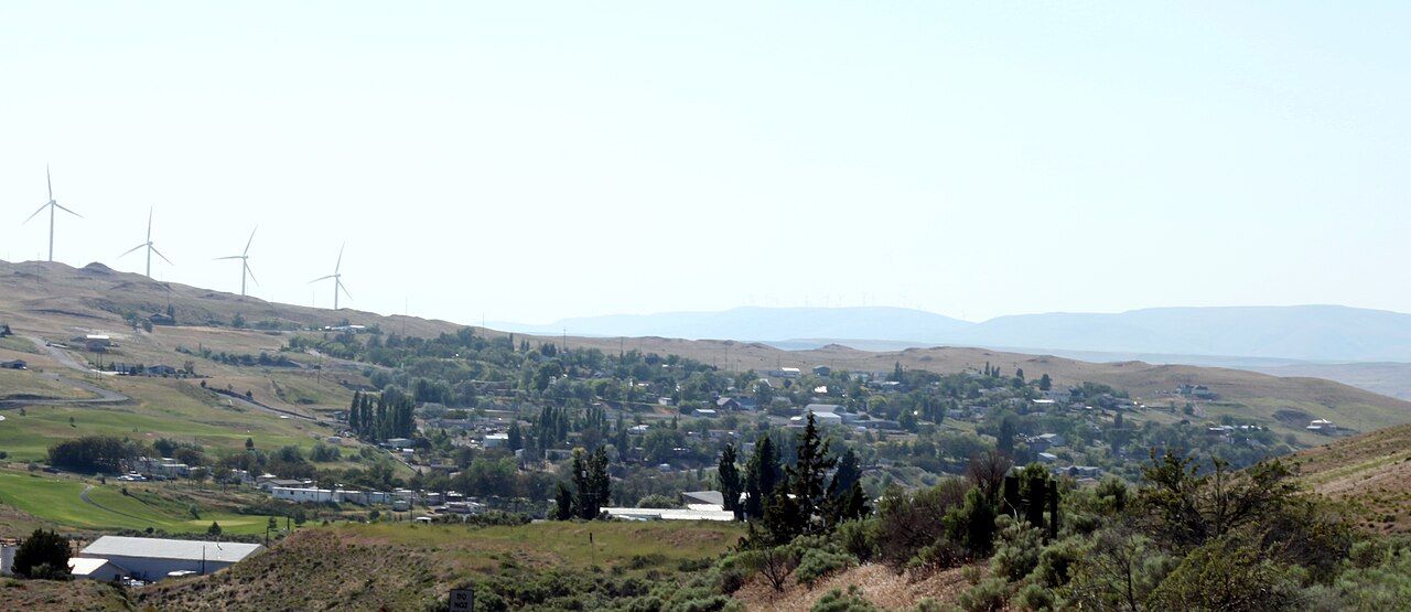
Set right on the banks of the Columbia River in north-central Oregon, Arlington is a peaceful, tight-knit town surrounded by golden wheat country and open skies. It started in the late 1800s as a riverfront shipping stop for livestock, and it still serves as a handy crossroads today. Interstate 84 runs right past town along the water, while Highway 19 heads south into the rolling hills, giving residents simple travel routes and front-row access to Lake Umatilla.

Arlington has a unique backstory. When the John Day Dam flooded the original riverfront in the 1960s, residents relocated the entire town to higher ground. Today, the community features shady waterfront parks, a public marina, and easy access to boating, fishing, and wind sports on the river. Supported by agriculture, wind energy, and regional employers, Arlington is a laid-back option for anyone looking for affordable small-town living with wide-open views.
Top Rating Signals
Highest current ratings for this town.
Loading town details...